|
|
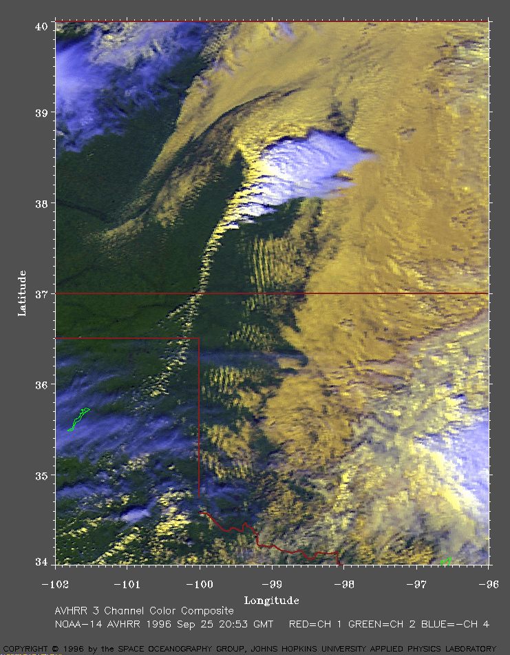
Southern plains of the U.S. on Sep 25, 1996
In this image, the warmer (and lower) clouds are yellow. The cooler (and higher) clouds are white. |
|
This is a close up view of a developing
squall line .
Other interesting features are the waves in the
clouds to the east of the squall line. For a larger perspective, click
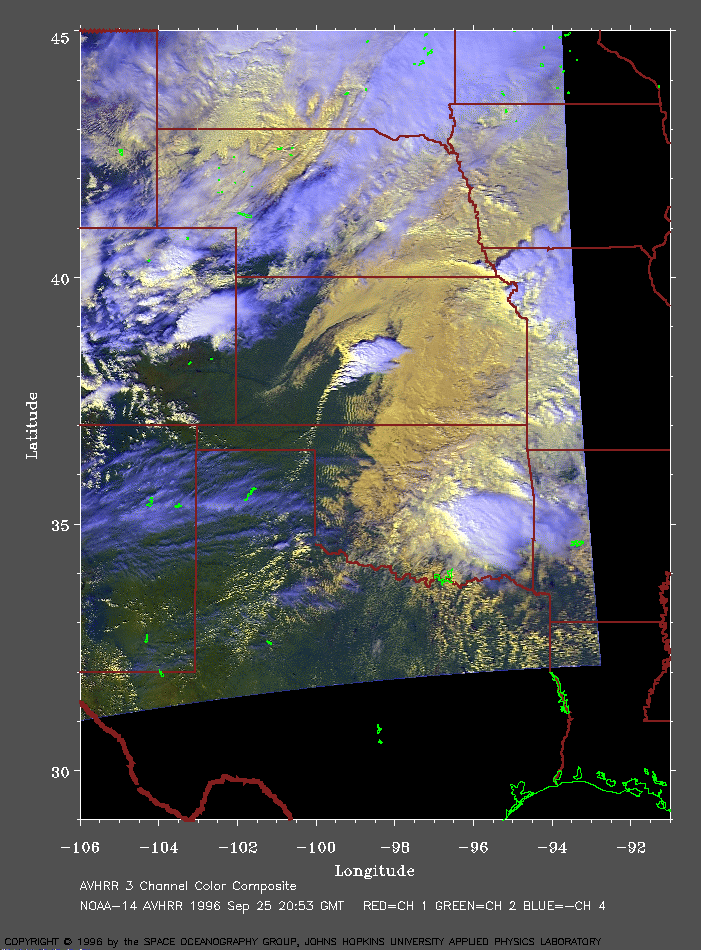
here (277 Kb).
The clouds in this image are aligned along a dry line extending south from Kansas across the Oklahoma panhandle into the Texas panhandle. Notice how the storms are progressively more developed towards the north end of the line. This dry line is a type of surface trough which developed on the lee side of the Rockies. It is being pushed eastward ahead of a strong cold front . The moist air mass from the Gulf of Mexico has surface dew points in the 60-65 F range. The convergence of the moist and dry air masses along the dry line results in lifting and cloud formation. The image shows numerous cumulonimbus clouds developing along the dry line. The air is very unstable with CAPE's in excess of 3000 J/kg. Helicity values over 300 m2/s2 were reported. A southerly low-level jet of 50 knot winds at the 850 hPa level from the Gulf of Mexico provides sufficient wind shear for the development of severe thunderstorms. Doppler radar showed sufficient wind speed shear and directional shear to support severe thunderstorms and supercells . The National Weather Service issued a tornado watch for western and central Kansas, western and central Oklahoma, and parts of the Texas panhandle at about 2300 UTC. This line of thunderstorms produced 1 inch diameter hail and supercells. A tornado was reported in southwestern Kansas (Grant county). |
To return to the index page, click here |