|
|
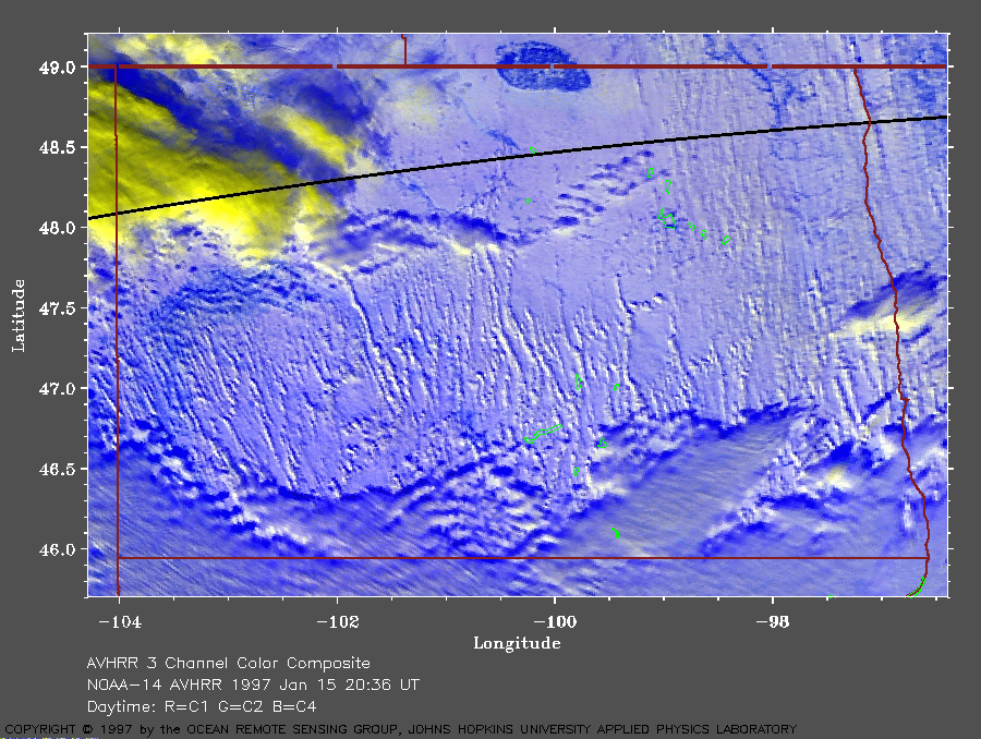
North Dakota on January 15, 1997
In this image, the warmer (and lower) clouds are white. The cooler (and higher) clouds are yellow. The cirrus clouds therefore appear yellow. |
|
This image shows blizzard conditions in North Dakota. A posting from
Scott Bachmeier (University of Wisconsin) on WX-TALK mentioned that he
had a GOES-8 visible image showing 'banded
sheets of blowing snow.' Initially, we were somewhat skeptical
(people from that part of the country have also reported seeing giant
blue oxen). Ray Sterner and I looked at NOAA 14 AVHRR imagery of the
area from about the same time. Knowing that the sun was at about 19
degrees elevation in the southwest and measuring the length of a
shadow, we were able to estimate the height
of these areas of blowing snow to be about 3000 to 4000 feet (900 to 1200
m) above the surface. The clouds to the south are about 6000 feet
(1800 m) above the surface. The wind
direction at the surface was reported to be from about 355 degrees at
30 to 40 knots (35 to 45 mph, or 15 to 20 m/s). Therefore, this wind has
picked up
the snow from the surface and lifted it to as high as 3000 to 4000 feet
above the surface. The strong wind has also aligned this blowing snow into
wind rows parallel to the wind direction.
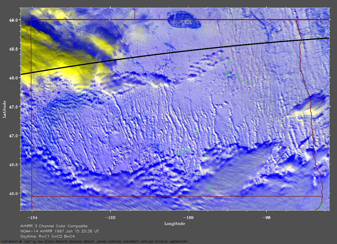
You can just see the outline of the Missouri River winding across the center of the state. On the eastern border just below 48 degrees latitude, you can see the city of Grand Forks. The Turtle Mountains can be seen along the Canadian border. We are convinced that Scott is correct and humbly apologize for doubting him (now, where did you last see that giant blue ox?). A very large view (679 Kb) is also available. |
For more interesting satellite AVHRR images, return to the index page. For more interesting GOES images, go to the University of Wisconsin CIMSS GOES page. |
|
Here is an eyewitness account from a ground-based observer:
NORTH DAKOTA BLOWING SNOW EVENT JANUARY 1997 The blowing snow event in mid January 1997 at Minot AFB, ND, was definitely not a day to be out driving around. By the end of the event, my driveway was drifted up to my waist in snow. The best way to describe the event would be "living in a fishbowl filled with milk." At times I could not see the street from my window. Looking up at the sky, you could make out a faint glow of what might be daylight. At times during drops in the windspeed, you could make out the outline of the sun. The difference between this blowing snow event and a regular precipitation event was evident. Instead of the snow falling to the ground vertically, it was moving horizontal to the ground. It looked like the pictures you get from live news crews camped out in the path of a hurricane. I have only seen two things ever that have come close to this event. One was here at Minot AFB in the summer of 1996 when we were caught in the outflow of a collapsing thunderstorm cell and received an 87 knot gust of wind with rain that seemed to blow nearly horizontal. The second was in the desert plains of Saudi Arabia with the outflow of thunderstorms picking up sand and carrying it horizontal to the surface and raining "brown mud" from the sky. The blowing snow event is not uncommon here in North Dakota. We get blowing snow here most every time a cold font moves through and new snow has fallen. With the advection of the cold air behind the system and the increasing pressure gradient bringing high winds with little terrain to block the wind, snow is lifted quite easily. With the cold dry arctic air we receive this far north in the U.S., the snow in the coldest part of winter is usually very light and fluffy and is blown around quickly. Driving is impossible during these blowing snow events, as soon as you plow the road it drifts right back over in an hour. Chris Blanch |
Other information: North Dakota Division of Emergency Management |