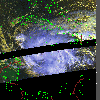
 1999 November 14 20:41 UT
NOAA-14
satellite AVHRR 3 channel color composite daytime image. A closer view
(305 Kb) is seen by clicking on this small image.
At this time, the maximum sustained winds are increasing from 65 at
19:15 UT to 70 mph at 21:00 UT.
A very large image
(594 Kb) of Lenny is also available.
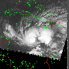 1999 November 15 09:04 UT
NOAA-14 satellite AVHRR channel 4 morning image. A closer view (251 Kb) is seen by clicking on this small image. The maximum sustained winds have increased to 100 mph as of 09:00 UT. A very large image (830 Kb) of Lenny is also available.
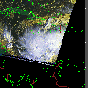 1999 November 15 13:09 UT
NOAA-15
satellite AVHRR 3 channel color composite daytime image. A closer view
(252 Kb) is seen by clicking on this small image.
A very large image
(744 Kb) of Lenny is also available.
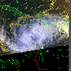 1999 November 15 20:30 UT
NOAA-14 satellite AVHRR 3 channel color composite daytime image. A closer view (318 Kb) is seen by clicking on this small image. The maximum sustained winds are decreasing from 100 mph at 18:00 UT to 85 mph at 21:00 UT. A very large image (686 Kb) of Lenny is also available.
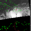 1999 November 16 00:28 UT
NOAA-15
satellite AVHRR channel 4 nighttime image. A closer view
(173 Kb) is seen by clicking on this small image.
The maximum sustained winds are decreasing from 85 mph at 00:00 UT
to 80 mph at 03:00 UT.
A very large image
(519 Kb) of Lenny is also available.
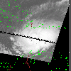 1999 November 16 08:53 UT
NOAA-14 satellite AVHRR channel 4 early morning image. A closer view (200 Kb) is seen by clicking on this small image. The maximum sustained winds are increasing from 85 mph at 06:00 UT to 100 mph at 09:00 UT. A very large image (936 Kb) of Lenny is also available.
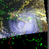 1999 November 16 20:18 UT
NOAA-14
satellite AVHRR 3 channel color composite daytime image. A closer view
(304 Kb) is seen by clicking on this small image.
The maximum sustained winds are increasing from 100 mph at 18:00 UT to
115 mph at 21:00 UT, making Lenny a dangerous Category 3 hurricane on the
Saffir-Simpson scale.
A very large image
(735 Kb) of Lenny is also available.
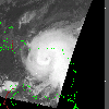 1999 November 17 08:41 UT
NOAA-14 satellite AVHRR channel 4 early morning image. A closer view (204 Kb) is seen by clicking on this small image. The maximum sustained winds are increasing from 120 mph at 07:00 UT to 125 mph at 09:00 UT. Note the eye of Lenny in these images. A very large image (811 Kb) of Lenny is also available.
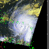 1999 November 17 12:29 UT
NOAA-15
satellite AVHRR 3 channel color composite morning image. A closer view
(306 Kb) is seen by clicking on this small image.
The maximum sustained winds are increasing from 125 mph at 11:00 UT
to 135 mph at 13:00 UT.
A very large image
(745 Kb) of Lenny is also available.
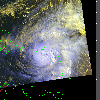 1999 November 17 20:07 UT
NOAA-14 satellite AVHRR 3 channel color composite daytime image. A closer view (339 Kb) is seen by clicking on this small image. The maximum sustained winds have increased to 150 mph. A very large image (910 Kb) of Lenny is also available.
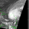 1999 November 18 08:30 UT
NOAA-14
satellite AVHRR channel 4 early morning image. A closer view
(250 Kb) is seen by clicking on this small image.
The maximum sustained winds have decreased to 145 mph at this time.
A very large image
(784 Kb) of Lenny is also available.
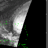 1999 November 18 10:32 UT
NOAA-12 satellite AVHRR channel 4 early morning image. A closer view (181 Kb) is seen by clicking on this small image. A very large image (513 Kb) of Lenny is also available.
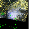 1999 November 18 12:02 UT
NOAA-15
satellite AVHRR 3 channel color composite morning image. A closer view
(347 Kb) is seen by clicking on this small image.
The maximum sustained winds have decreased to 135 mph.
A very large image
(941 Kb) of Lenny is also available.
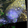 1999 November 18 19:55 UT
NOAA-14 satellite AVHRR 3 channel color composite daytime image. A closer view (381 Kb) is seen by clicking on this small image. The maximum sustained winds are decreasing from 130 mph at 19:00 UT to 120 mph at 21:00 UT. A very large image (848 Kb) of Lenny is also available.
 1999 November 18 21:52 UT
NOAA-12
satellite AVHRR channel 4 evening image. A closer view
(240 Kb) is seen by clicking on this small image.
A very large image
(891 Kb) of Lenny is also available.
 1999 November 18 23:21 UT
NOAA-15 satellite AVHRR channel 4 evening image. A closer view (217 Kb) is seen by clicking on this small image. A very large image (1193 Kb) of Lenny is also available.
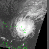 1999 November 19 08:19 UT
NOAA-14
satellite AVHRR channel 4 morning image. A closer view
(277 Kb) is seen by clicking on this small image.
The maximum sustained winds are decreasing from 110 mph at 06:00 UT to
100 mph at 09:00 UT.
A very large image
(964 Kb) of Lenny is also available.
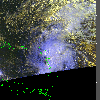 1999 November 19 19:44 UT
NOAA-14 satellite AVHRR 3 channel color composite daytime image. A closer view (378 Kb) is seen by clicking on this small image. The maximum sustained winds are decreasing from 75 mph at 18:00 UT to 70 mph at 21:00 UT. A very large image (963 Kb) of Lenny is also available.
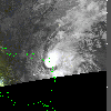 1999 November 19 21:30 UT
NOAA-12
satellite AVHRR channel 4 evening image. A closer view
(189 Kb) is seen by clicking on this small image.
A very large image
(1087 Kb) of Lenny is also available.
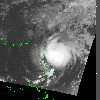 1999 November 20 08:07 UT
NOAA-14 satellite AVHRR channel 4 morning image. A closer view (259 Kb) is seen by clicking on this small image. The maximum sustained winds have decreased to 60 mph. A very large image (980 Kb) of Lenny is also available.
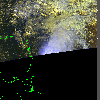 1999 November 20 19:33 UT
NOAA-14
satellite AVHRR 3 channel color composite daytime image. A closer view
(284 Kb) is seen by clicking on this small image.
The maximum sustained winds are decreasing from 60 mph at 15:00 UT to 50
mph at 21:00 UT.
A very large image
(657 Kb) of Lenny is also available.
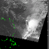 1999 November 21 07:56 UT
NOAA-14 satellite AVHRR channel 4 morning image. A closer view (227 Kb) is seen by clicking on this small image. The maximum sustained winds are decreasing from 45 mph at 03:00 UT to 35 mph at 09:00 UT. A very large image (812 Kb) of Lenny is also available.
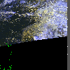 1999 November 21 19:22 UT
NOAA-14
satellite AVHRR 3 channel color composite daytime image. A closer view
(300 Kb) is seen by clicking on this small image. The remaining convection
lies well to the east of the center of Lenny. Note the swirl of yellow
clouds.
The maximum sustained winds are decreasing from 35 mph at 15:00 UT to 30
mph at 21:00 UT.
A very large image
(354 Kb) of Lenny is also available.