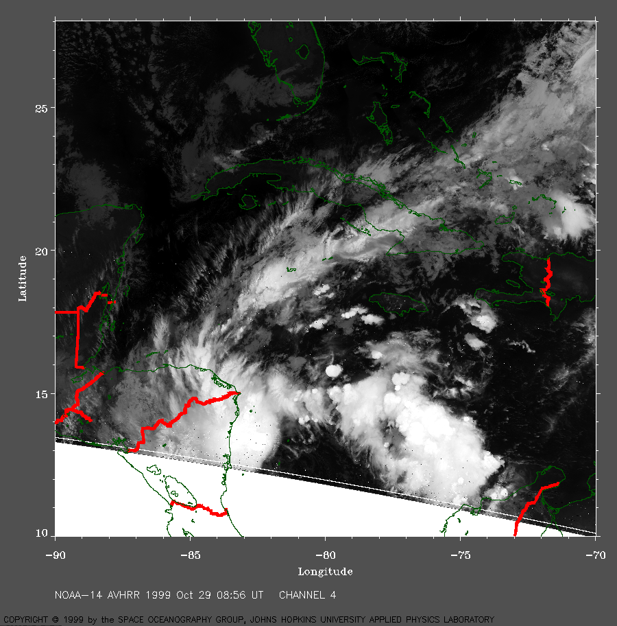
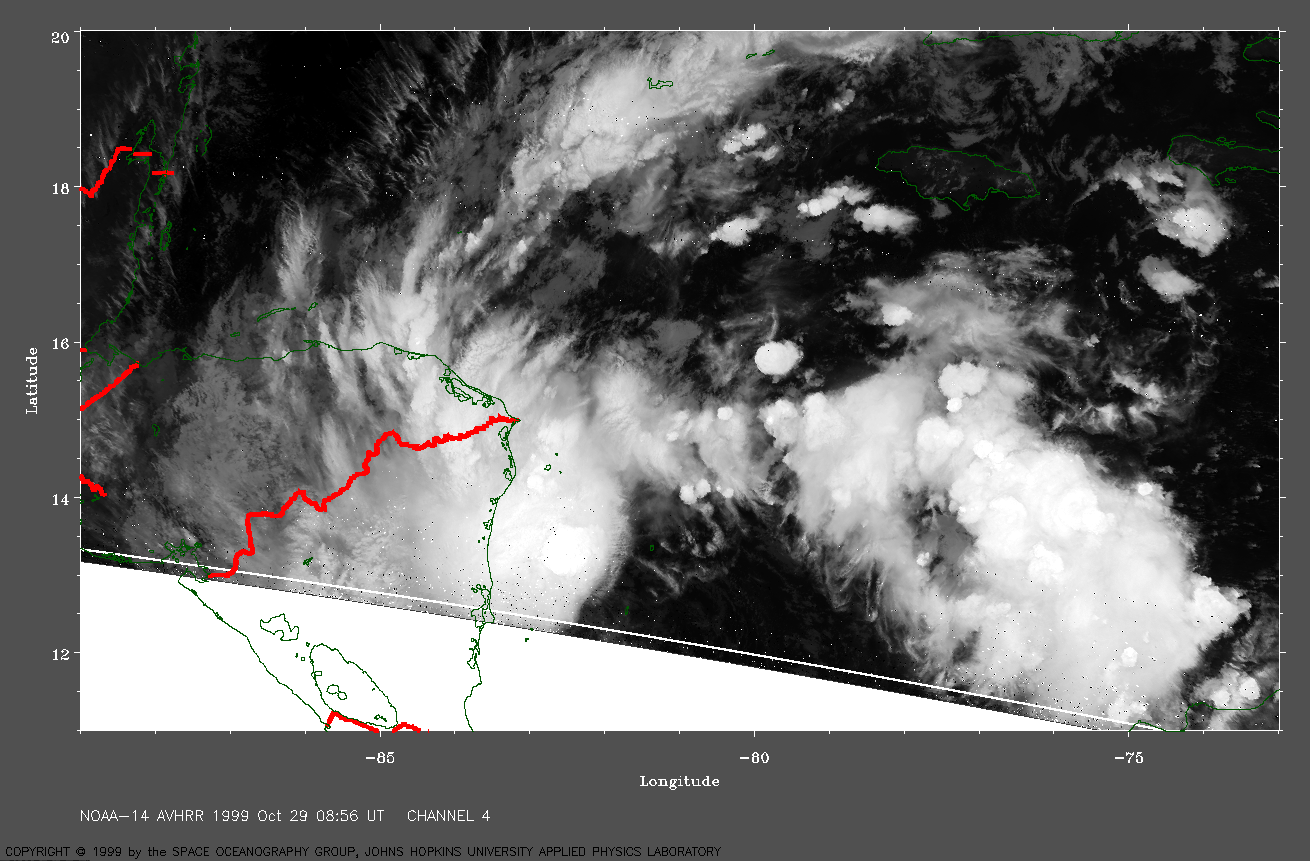
 1999 October 29 08:56 UT
NOAA-14
satellite AVHRR channel 4 early morning image. A closer view
(494 Kb) is seen by clicking on this small image.
At this time, Katrina is Tropical Depression 15 (TD 15)
with maximum sustained winds of 35 mph.
The center of the circulation is near 11.8 N, 82.2 W.
A very large image
(723 Kb) of TD 15 is also available.
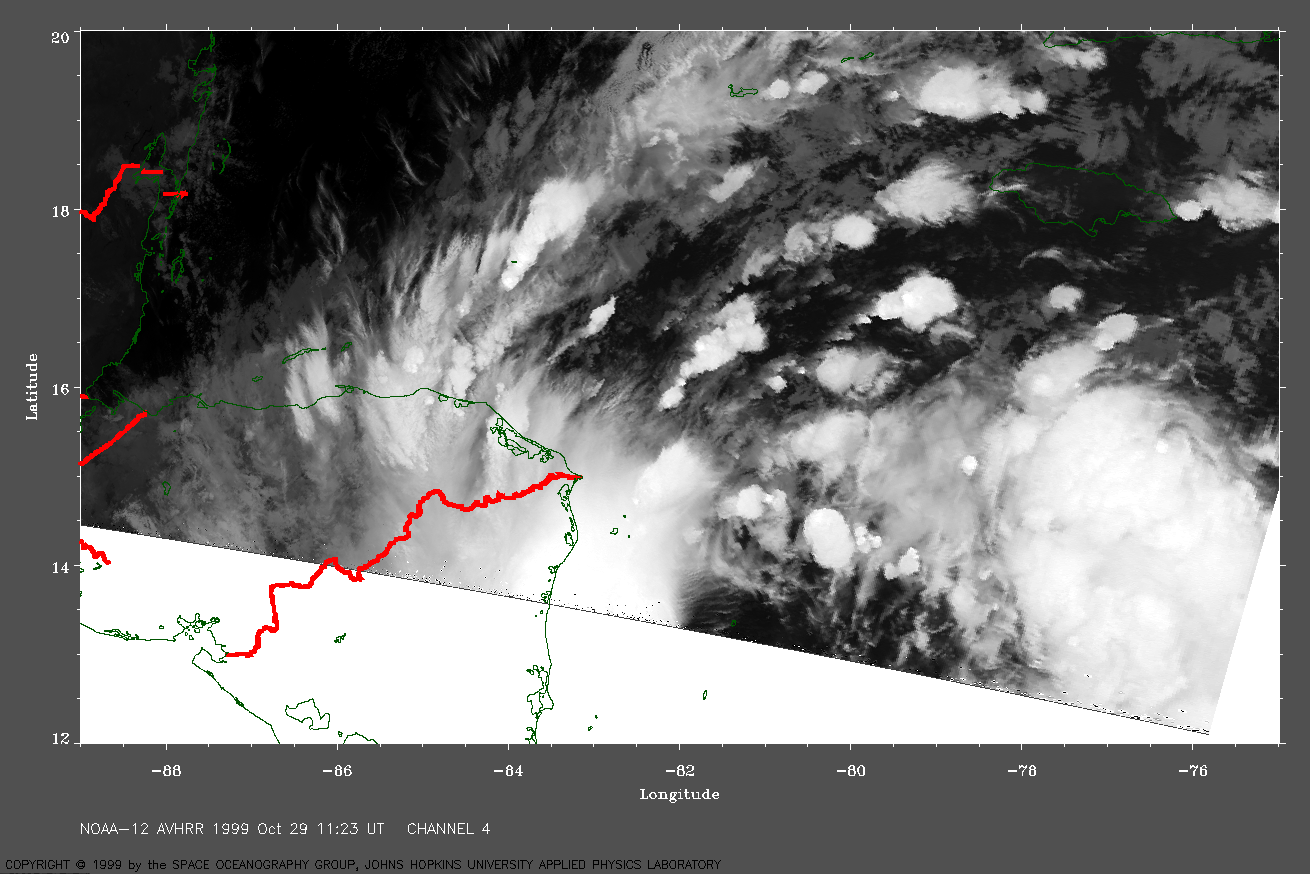
 1999 October 29 11:23 UT
NOAA-12 satellite AVHRR channel 4 morning image. A closer view (412 Kb) is seen by clicking on this small image. The center of the circulation is near 12.5 N, 82.0 W. A very large image (629 Kb) of TD 15 is also available.
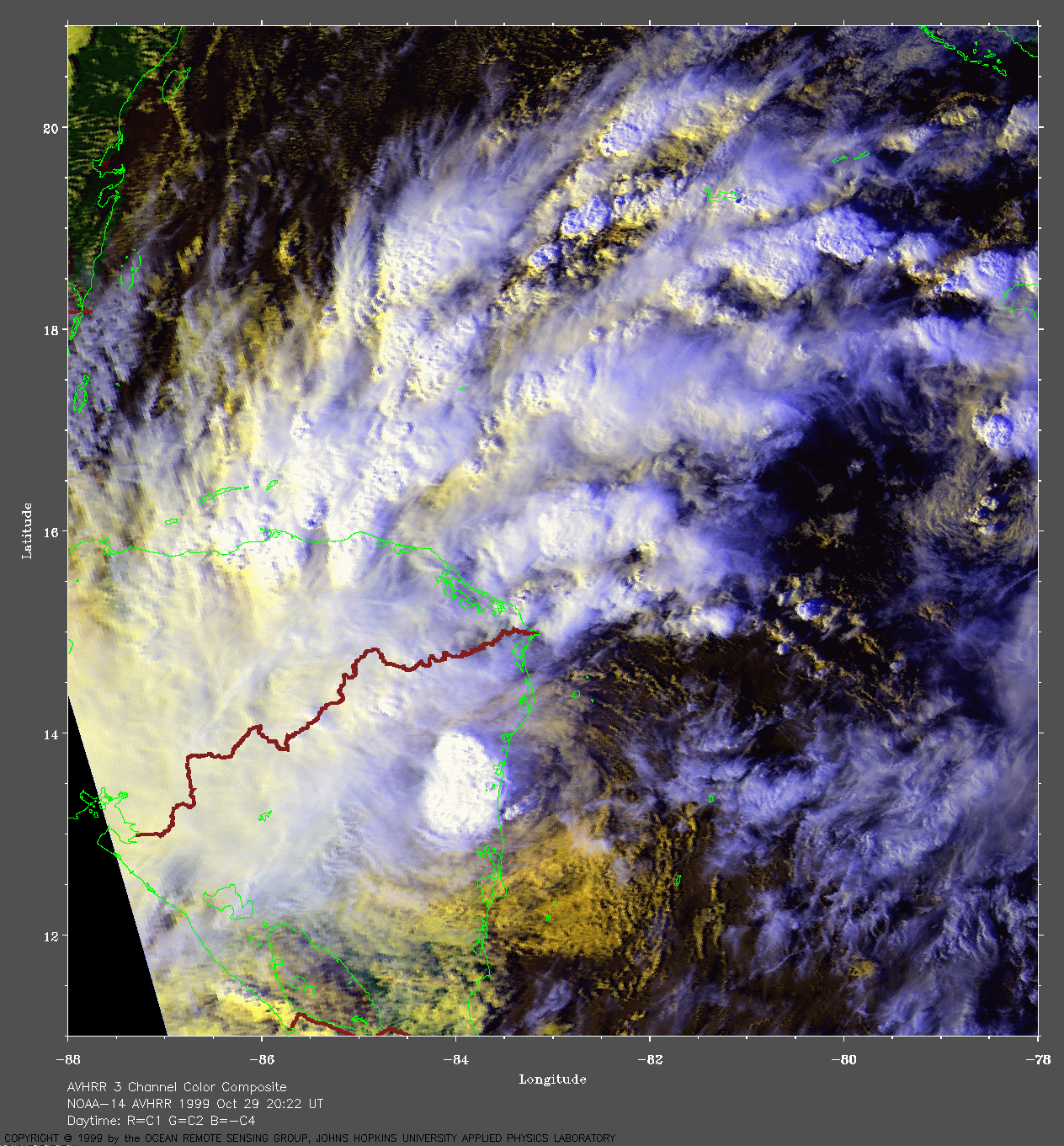
 1999 October 29 20:22 UT
NOAA-14
satellite AVHRR 3 channel color composite daytime image. A closer view
(332 Kb) is seen by clicking on this small image.
The maximum sustained winds are increasing from 35 mph at 18:00 UT to 40
mph at 21:00 UT. TD 15 is becoming Tropical Storm Katrina.
A very large image
(979 Kb) of Katrina is also available.
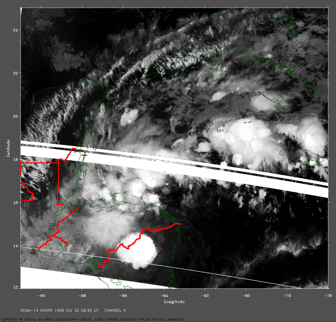
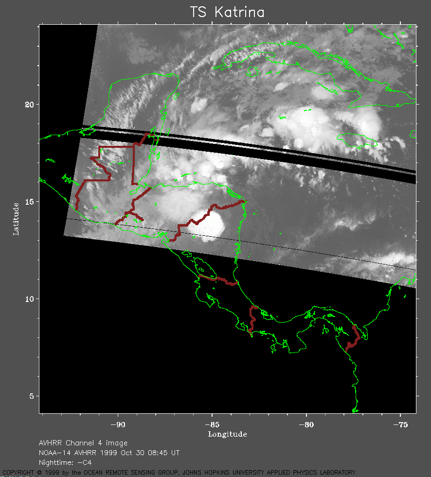 1999 October 30 08:45 UT
NOAA-14 satellite AVHRR channel 4 morning image. A closer view (185 Kb) is seen by clicking on this small image. Tropical Storm Katrina is weakening and the maximum sustained winds have decreased to 35 mph. A very large image (1047 Kb) of Katrina is also available.
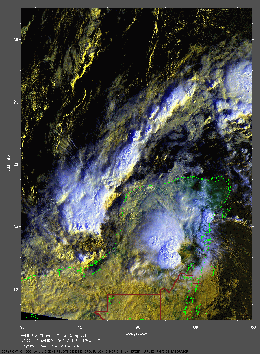
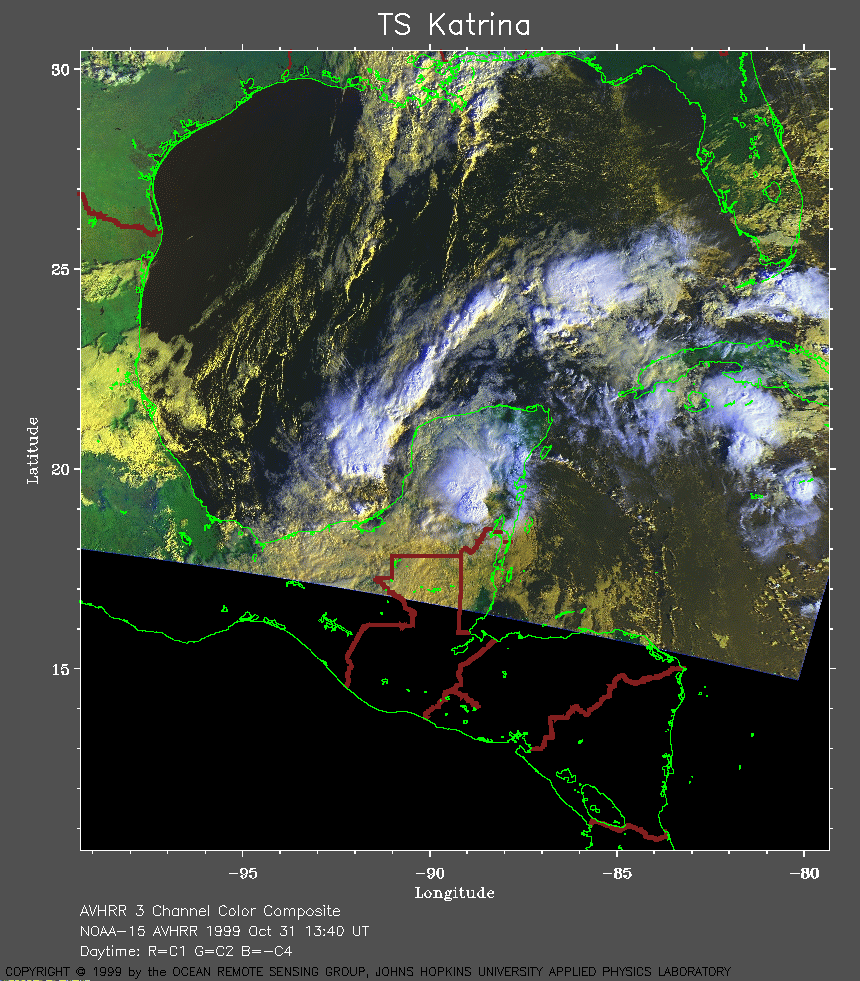 1999 October 31 13:40 UT
NOAA-15
satellite AVHRR 3 channel color composite morning image. A closer view
(343 Kb) is seen by clicking on this small image.
The maximum sustained winds have decreased to 30 mph.
A very large image
(714 Kb) of Katrina is also available.
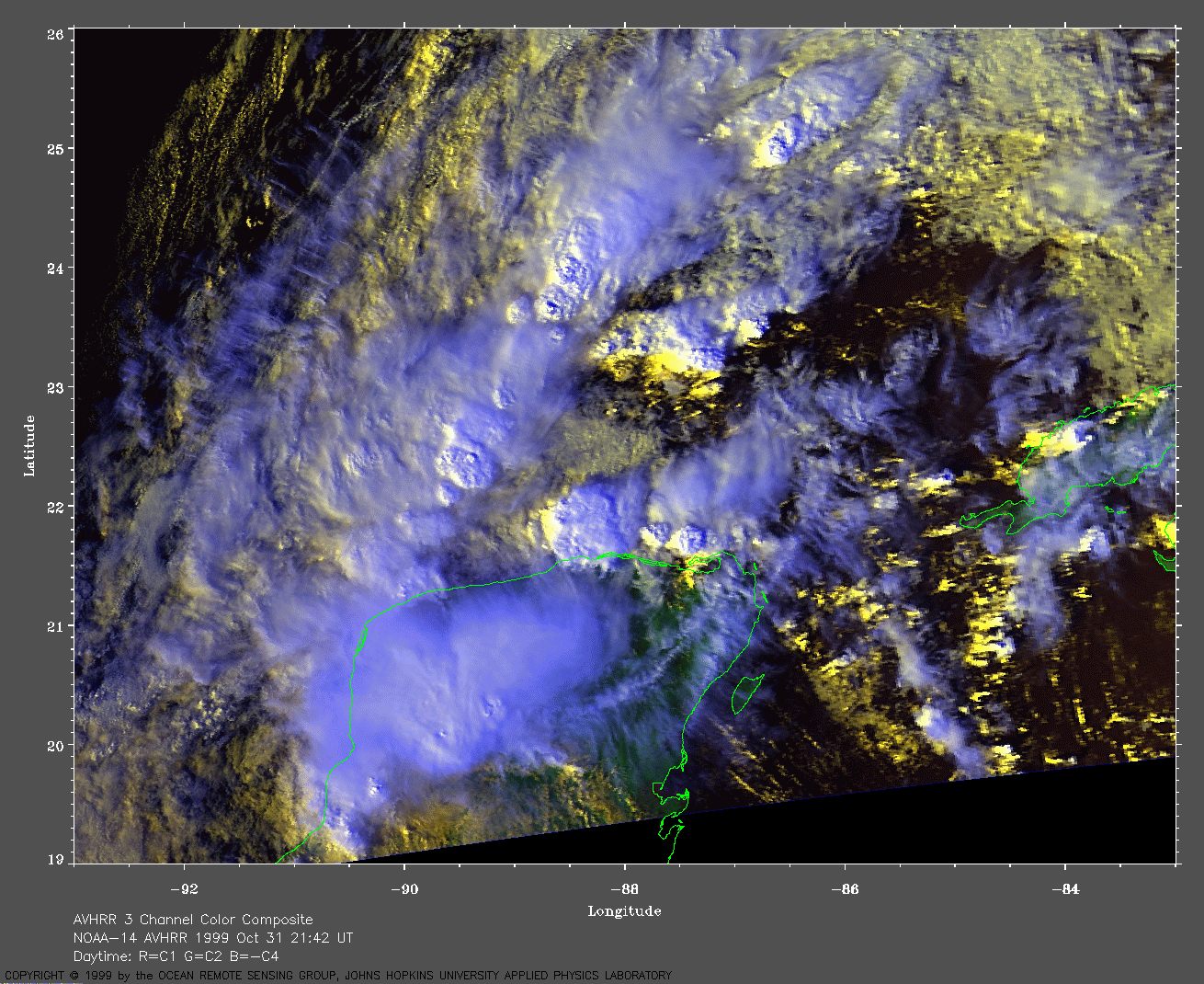
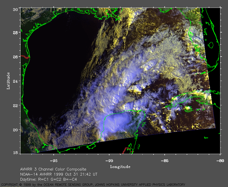 1999 October 31 21:42 UT
NOAA-14 satellite AVHRR 3 channel color composite daytime image. A closer view (266 Kb) is seen by clicking on this small image. A very large image (747 Kb) of Katrina is also available.
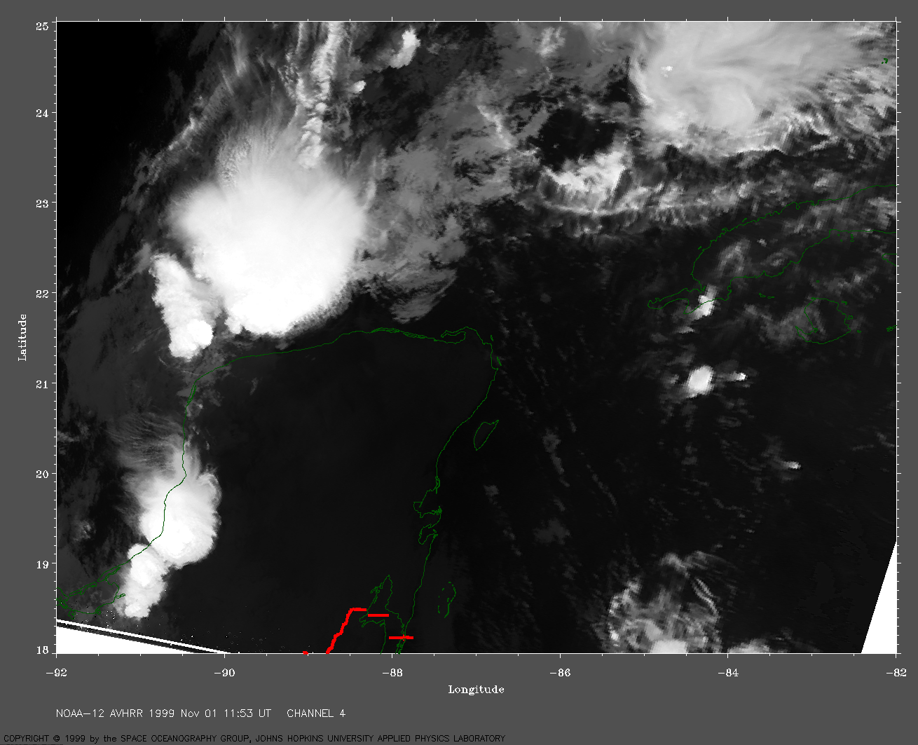
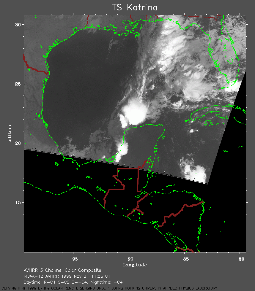 1999 November 01 11:53 UT
NOAA-12
satellite AVHRR channel 4 morning image. A closer view
(194 Kb) is seen by clicking on this small image.
The maximum sustained winds have decreased to 25 mph.
A very large image
(615 Kb) of Katrina is also available.
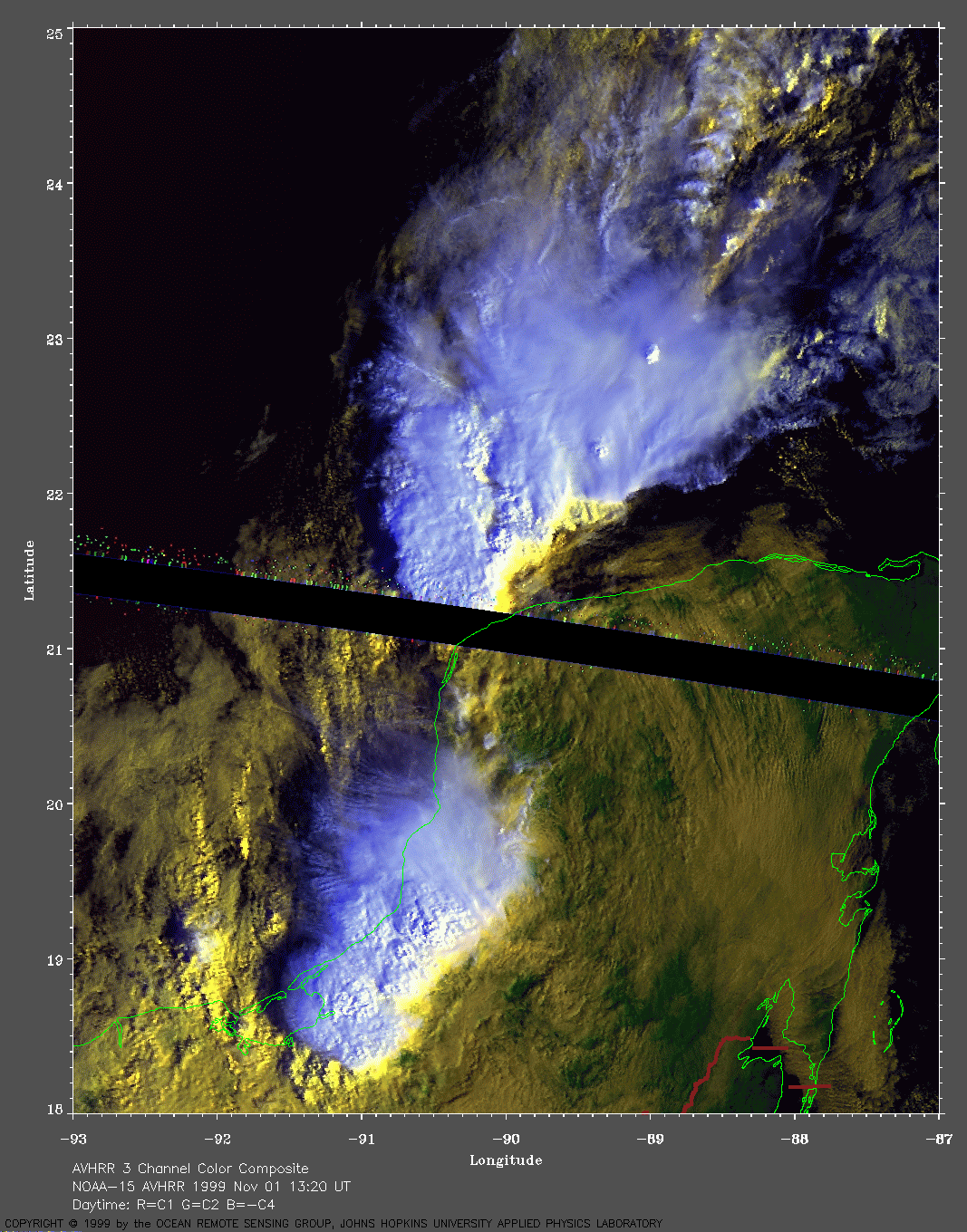
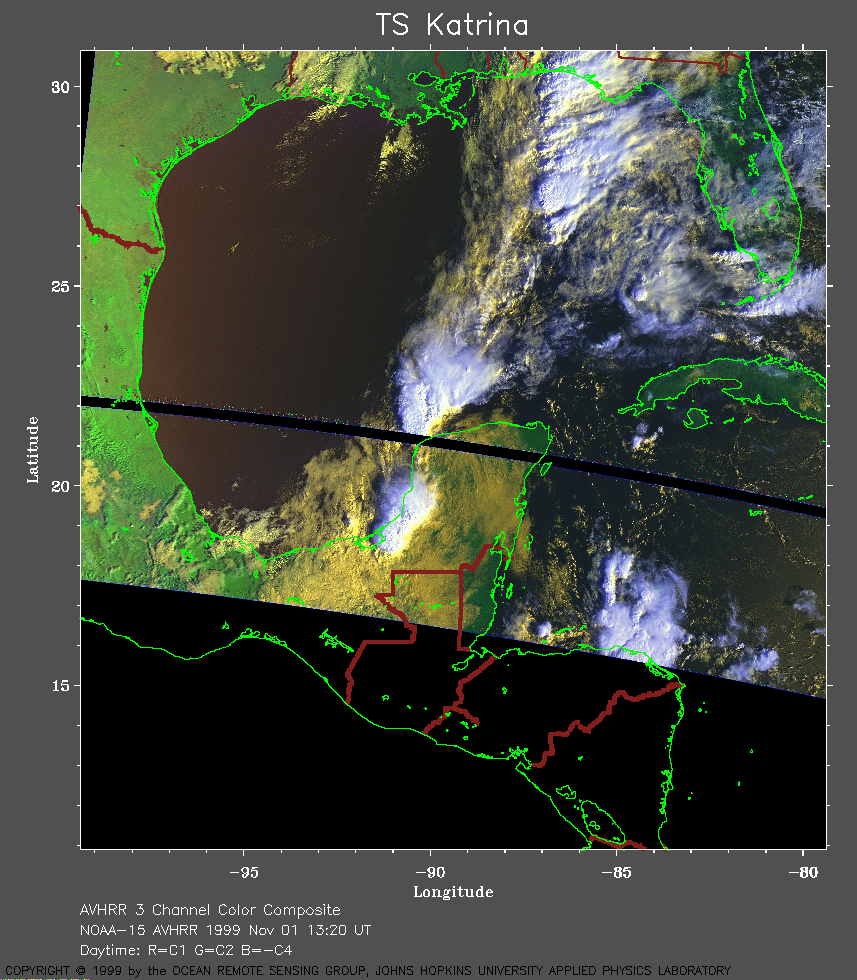 1999 November 01 13:20 UT
NOAA-15 satellite AVHRR 3 channel color composite daytime image. A closer view (315 Kb) is seen by clicking on this small image. Katrina is dissipating as it is being absorbed into a cold front. A very large image (555 Kb) of Katrina is also available.