Harvey developed from Tropical Depression 10 in the Gulf of Mexico.
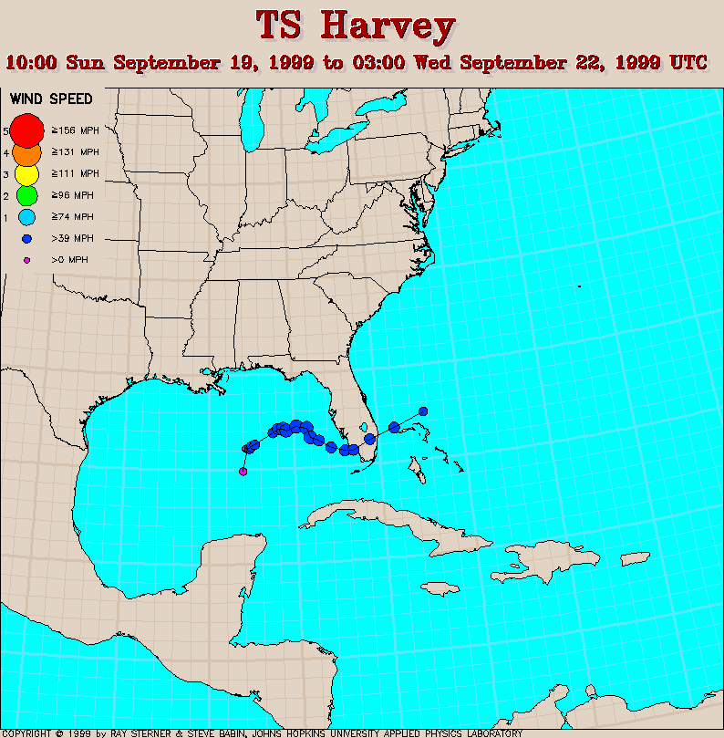
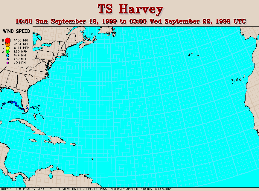
Track maps
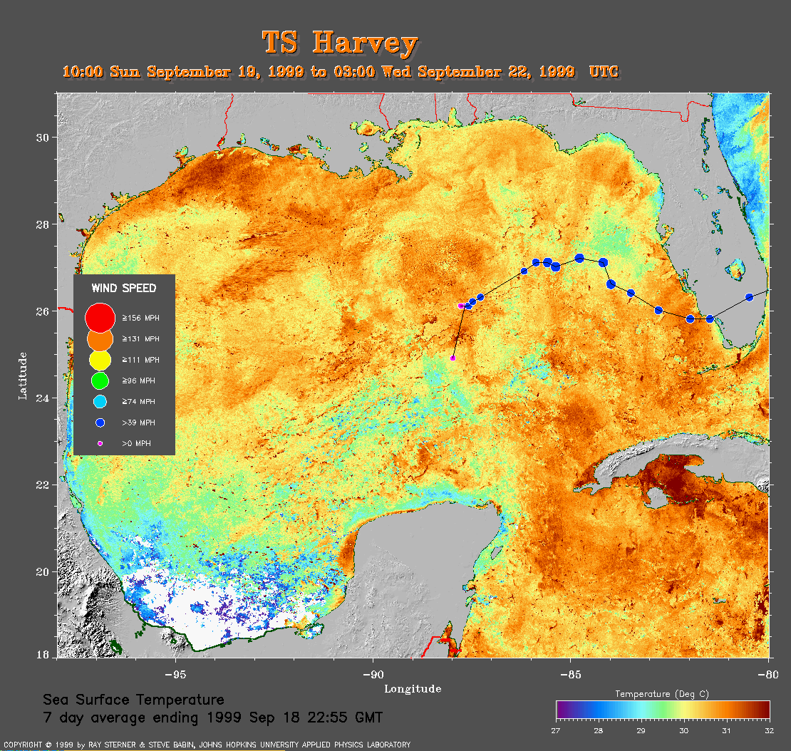 7 day composite average SST image from 18 September (337 Kb) This
image is derived from the average composite sea surface temperature
(SST) data over 7 days ending 18 September 1999. The averaging is done to
remove clouds. The track of Harvey is
overlaid on this image.
7 day composite average SST image from 18 September (337 Kb) This
image is derived from the average composite sea surface temperature
(SST) data over 7 days ending 18 September 1999. The averaging is done to
remove clouds. The track of Harvey is
overlaid on this image.
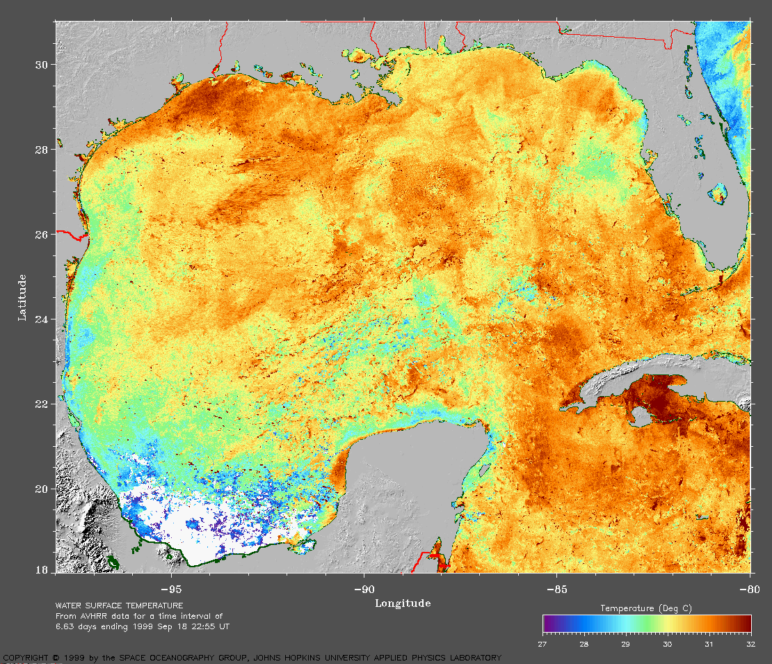
The
SST image without Harvey's track
(342 Kb) is also available.
Track file
Track data (lat/lon, winds, etc.) in a text file.