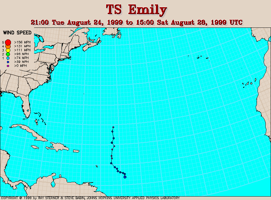
Track maps
Emily developed from Tropical Depression 6 east of Barbados. On 28 August 1999, Emily was absorbed by Hurricane Cindy.
Track file
Track data (lat/lon, winds, etc.) in a text file.
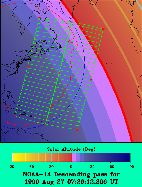
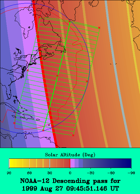
 1999 August 27 07:26 UT
NOAA-14
AVHRR channel 4 early morning image. A closer view (231 Kb)
is seen by clicking on this small image. The maximum sustained winds
are 35 mph. Notice the larger Hurricane Cindy at the top of this
image.
A very large image (801 Kb)
of Emily is also available.
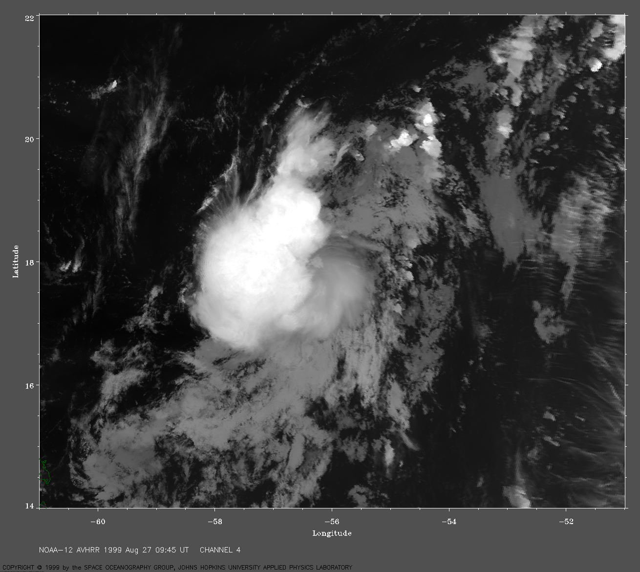
 1999 August 27 09:45 UT
NOAA-12
AVHRR channel 4 early morning image. A closer view (263 Kb)
is seen by clicking on this small image. The maximum sustained winds
are 35 mph. Again, Cindy (a Category 4 Hurricane) dominates the top of
this image.
A very large image (789 Kb)
of Emily is also available.
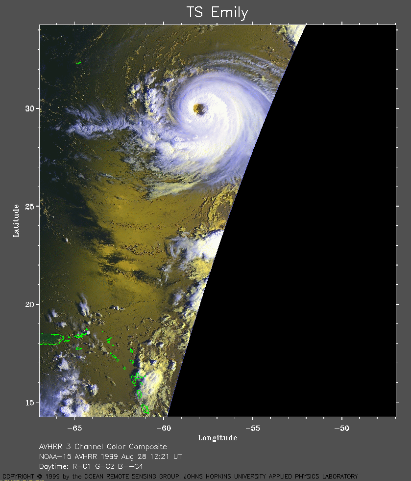 1999 August 28 12:21 UT
NOAA-15
AVHRR 3 channel color composite daytime image. A closer view (245 Kb)
is seen by clicking on this small image. The maximum sustained winds
are 40 mph. However, Emily is now being absorbed by the larger and more
powerful Cindy (seen at the top of this image).
A very large image (387 Kb)
of Emily is also available. This image has lost some resolution by
being at the edge of the swath.