Track maps
Track file
Track data (lat/lon, winds, etc.) in a text file.
| Hurricane Lisa | |
|---|---|
|
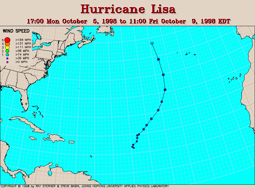
| Lisa formed in the Atlantic Ocean east of the Leeward Islands. It was identified as a tropical storm after a drifting buoy made a wind observation of 45 knots on 5 October. It became a hurricane on 9 October. |
|
Track file
|
|