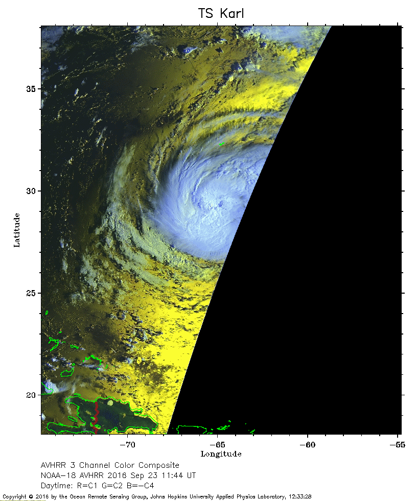
 2016 September 23 11:44 UT
NOAA-18 satellite AVHRR 3 channel color composite daytime image.
A closer view (219 Kb) is seen by clicking on this small image.
The maximum sustained winds are 60 mph. Bermuda is the J-shaped island just to the north of Karl.
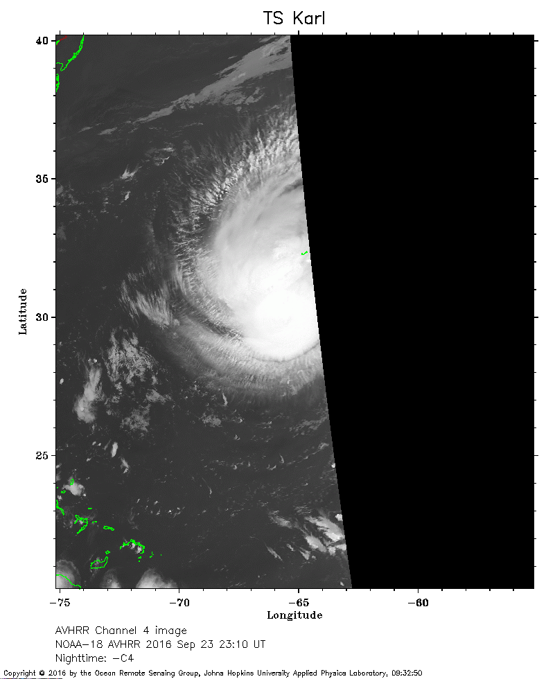 2016 September 23 23:10 UT
NOAA-18 satellite AVHRR channel 4 nighttime image.
A closer view (142 Kb) is seen by clicking on this small image.
Bermuda is the J-shaped island just to the north of the center of Karl.
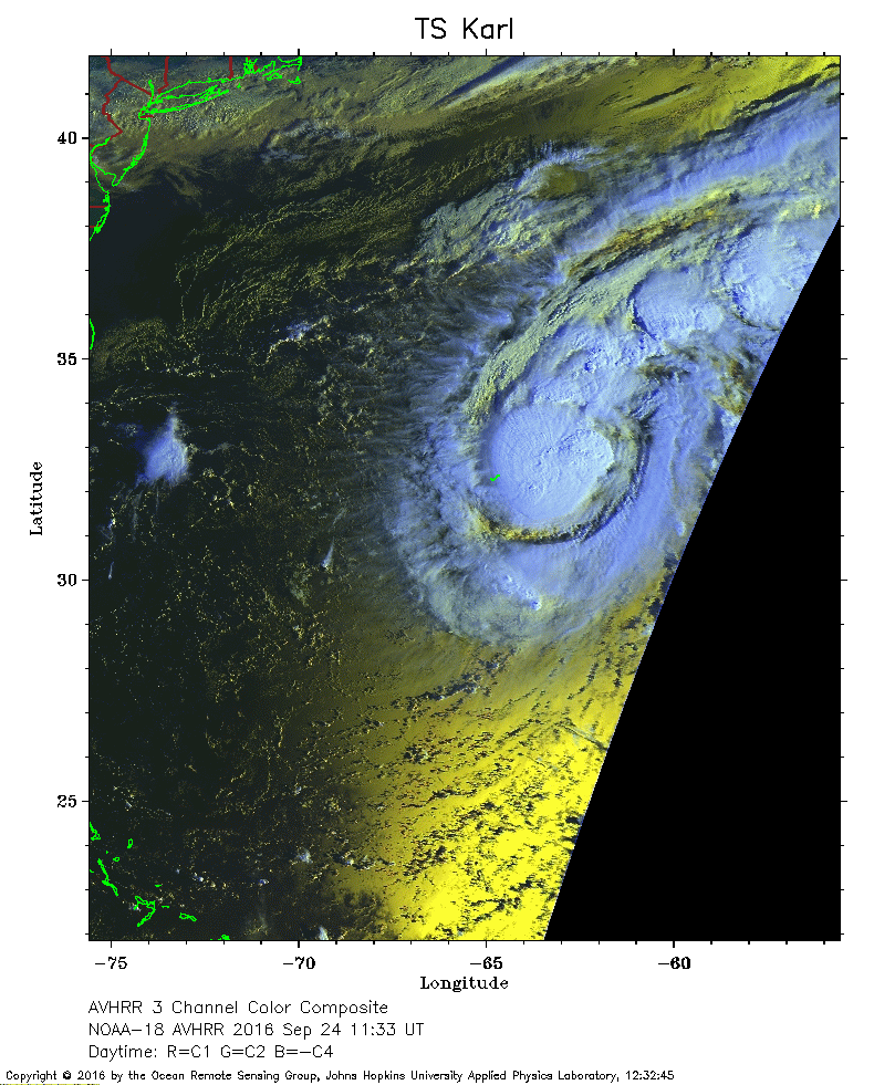 2016 September 24 11:33 UT
NOAA-18 satellite AVHRR 3 channel color composite daytime image.
A closer view (282 Kb) is seen by clicking on this small image.
The maximum sustained winds have increased to 65 mph. Bermuda is the J-shaped island just to the west of the center of Karl.