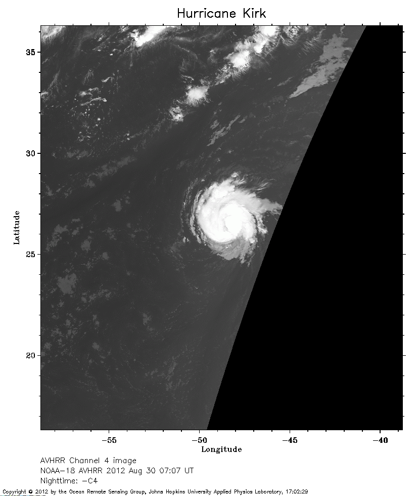
 2012 August 30 07:07 UT
NOAA-18 satellite AVHRR channel 4 nighttime image.
A closer view (156 Kb) is seen by clicking on this small image.
The maximum sustained winds are 60 mph and will increase to hurricane force.
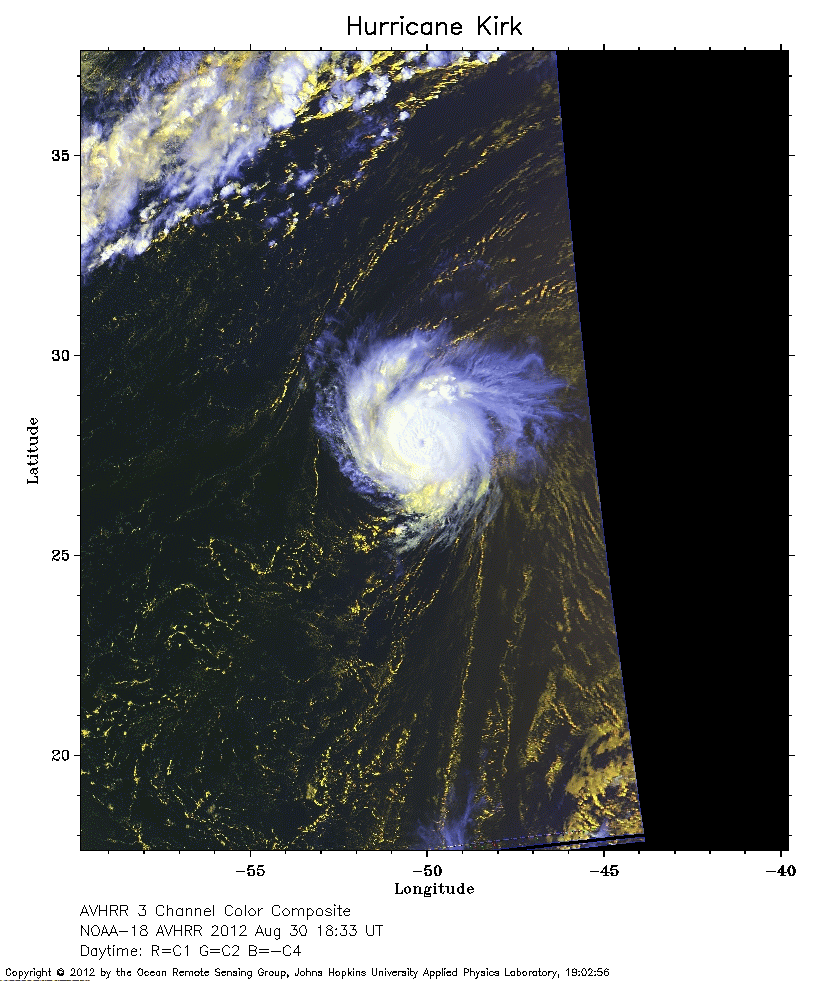 2012 August 30 18:33 UT
NOAA-18 satellite AVHRR 3 channel color composite daytime image.
A closer view (233 Kb) is seen by clicking on this small image.
The maximum sustained winds have increased to 75 mph.
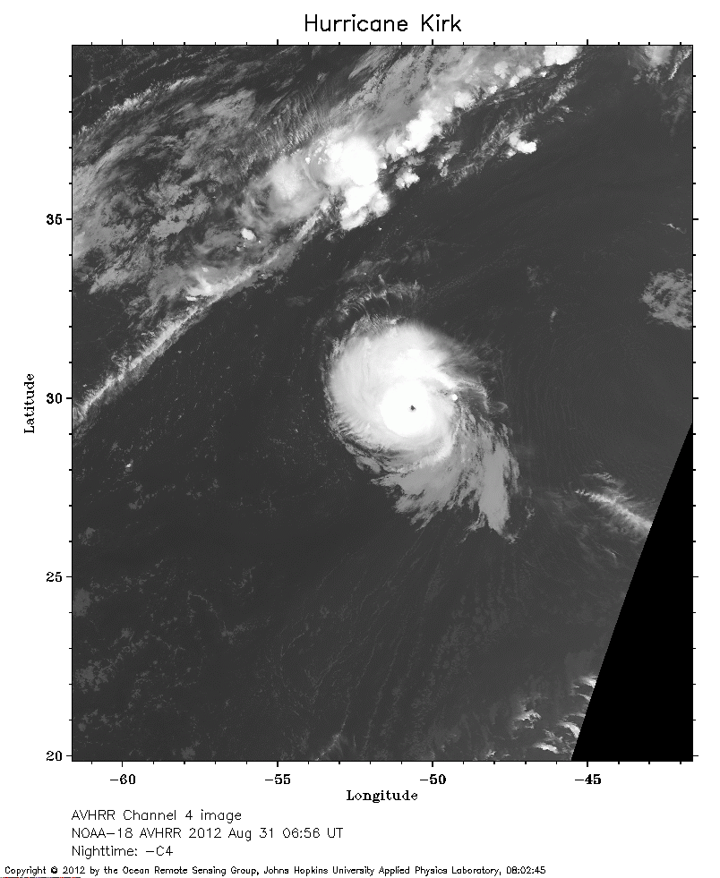 2012 August 31 06:56 UT
NOAA-18 satellite AVHRR channel 4 nighttime image.
A closer view (229 Kb) is seen by clicking on this small image.
The maximum sustained winds have increased to 100 mph.
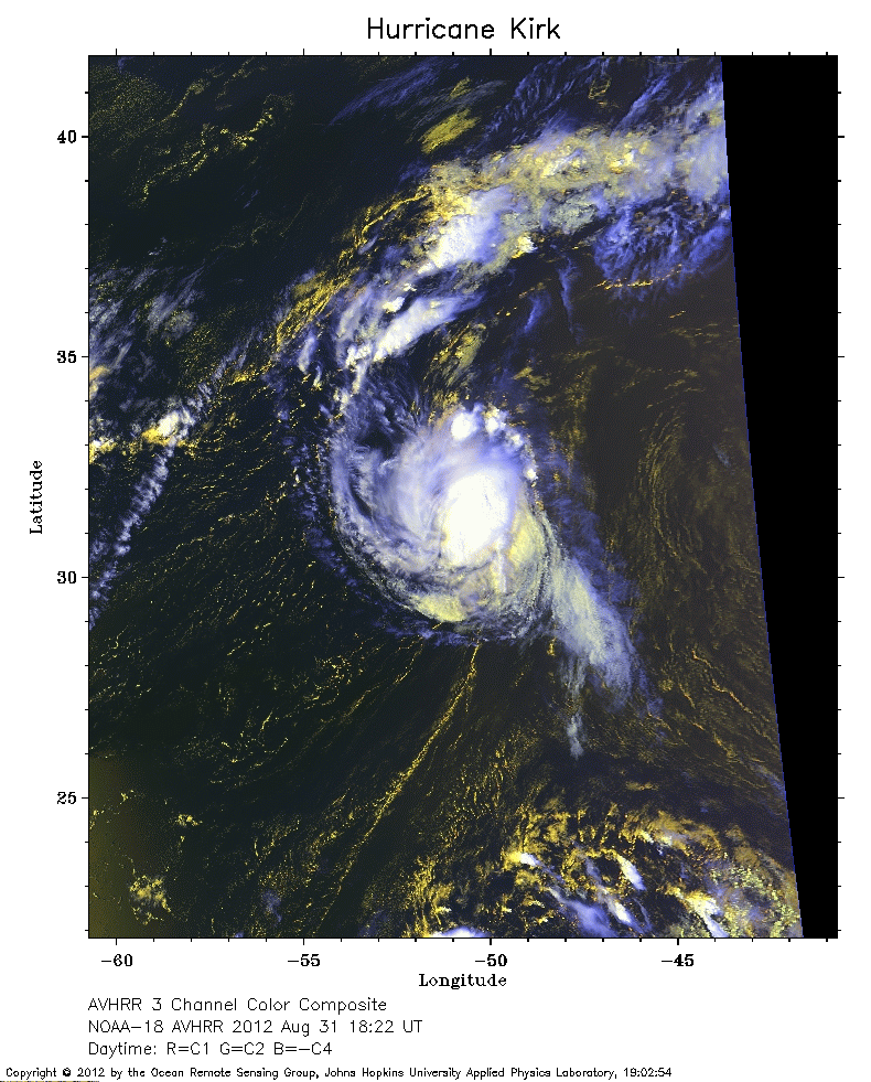 2012 August 31 18:22 UT
NOAA-18 satellite AVHRR 3 channel color composite daytime image.
A closer view (295 Kb) is seen by clicking on this small image.
The maximum sustained winds have increased to 105 mph.
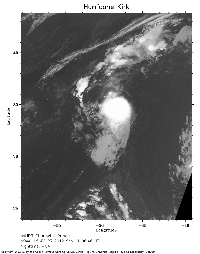 2012 September 01 06:46 UT
NOAA-18 satellite AVHRR channel 4 nighttime image.
A closer view (234 Kb) is seen by clicking on this small image.
The maximum sustained winds have decreased to 80 mph.
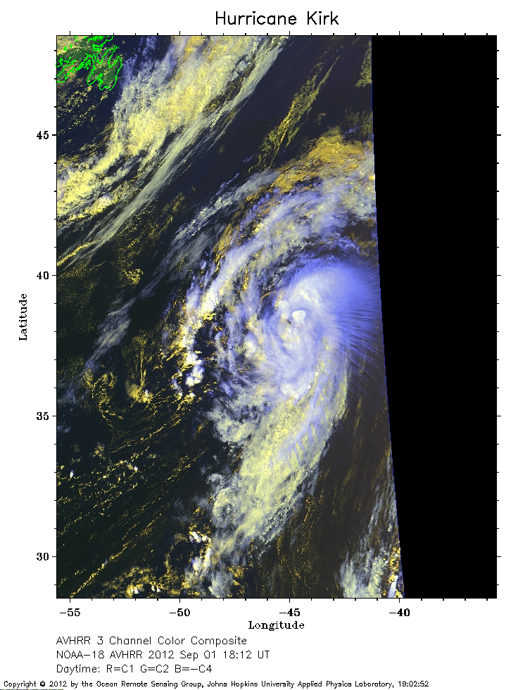 2012 September 01 18:12 UT
NOAA-18 satellite AVHRR 3 channel color composite daytime image.
A closer view (262 Kb) is seen by clicking on this small image.
The maximum sustained winds have decreased to 70 mph.
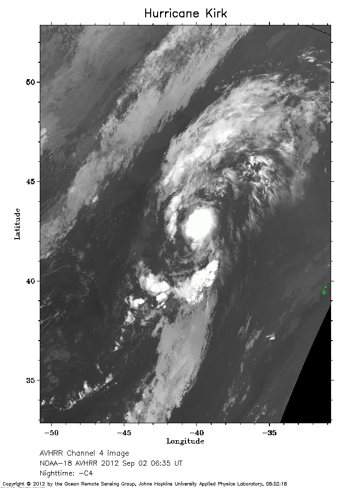 2012 September 02 06:35 UT
NOAA-18 satellite AVHRR channel 4 nighttime image.
A closer view (225 Kb) is seen by clicking on this small image.
The maximum sustained winds have decreased to 60 mph.