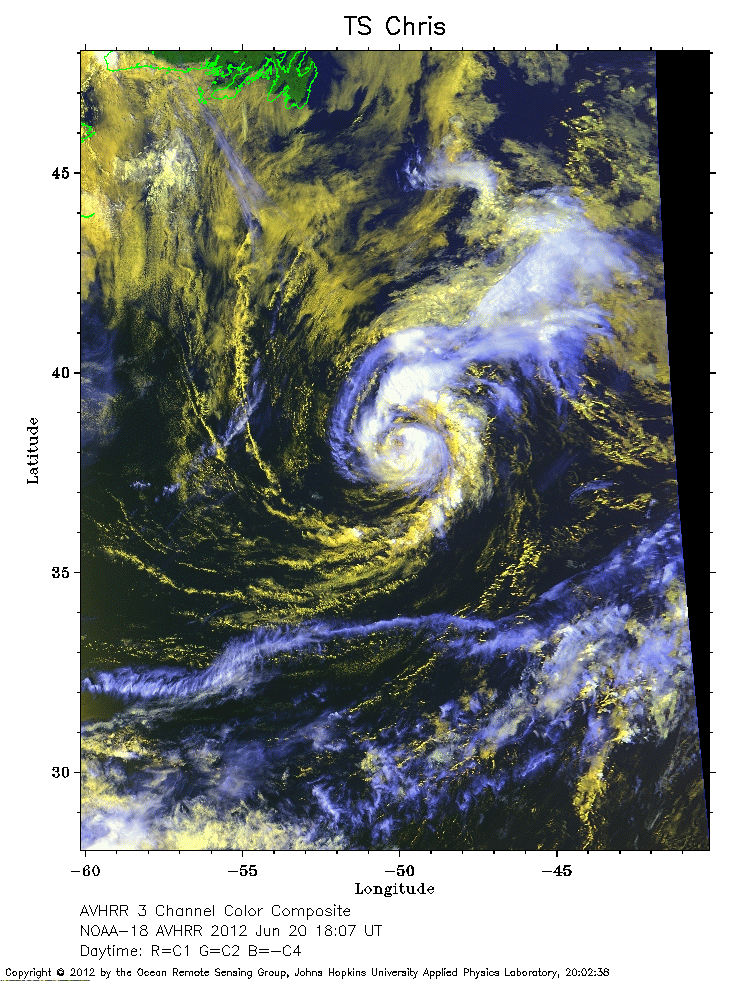
 2012 June 20 18:07 UT
NOAA-18 satellite AVHRR 3 channel color composite daytime image.
A closer view (351 Kb) is seen by clicking on this small image.
Chris is a tropical storm with maximum sustained winds of 50 mph.
 2012 June 20 06:31 UT
NOAA-18 satellite AVHRR channel 4 nighttime image.
A closer view (260 Kb) is seen by clicking on this small image.
The maximum sustained winds have increased to 60 mph.
 2012 June 21 08:43 UT
NOAA-15 satellite AVHRR 3 channel color composite early morning image.
A closer view (326 Kb) is seen by clicking on this small image.
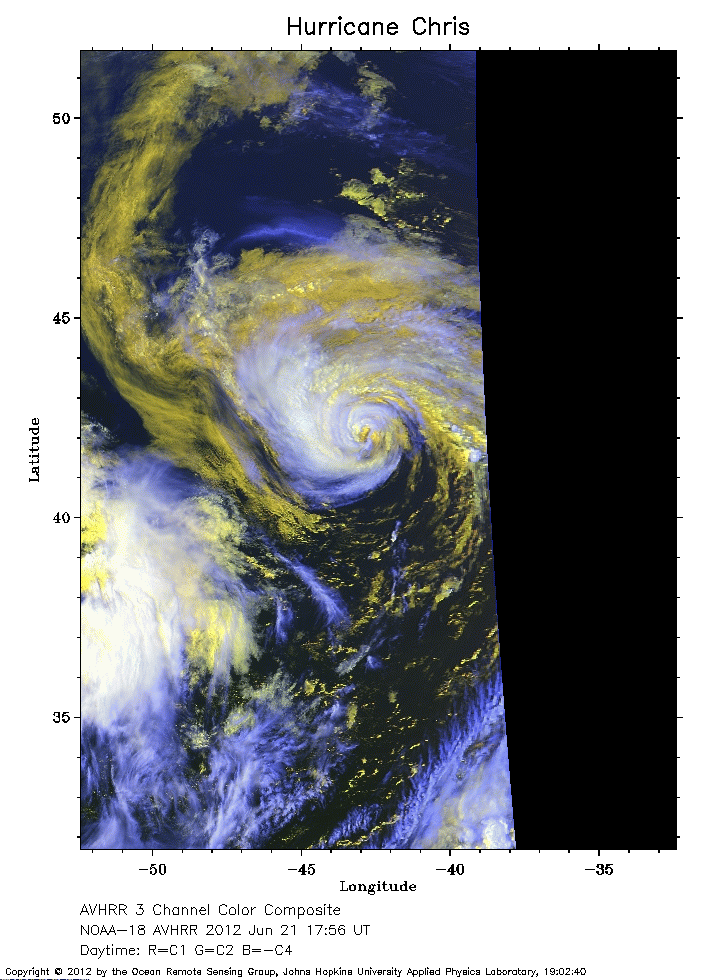 2012 June 21 17:56 UT
NOAA-18 satellite AVHRR 3 channel color composite daytime image.
A closer view (234 Kb) is seen by clicking on this small image.
The maximum sustained winds have increased to 75 mph, making Chris the first hurricane of the season.