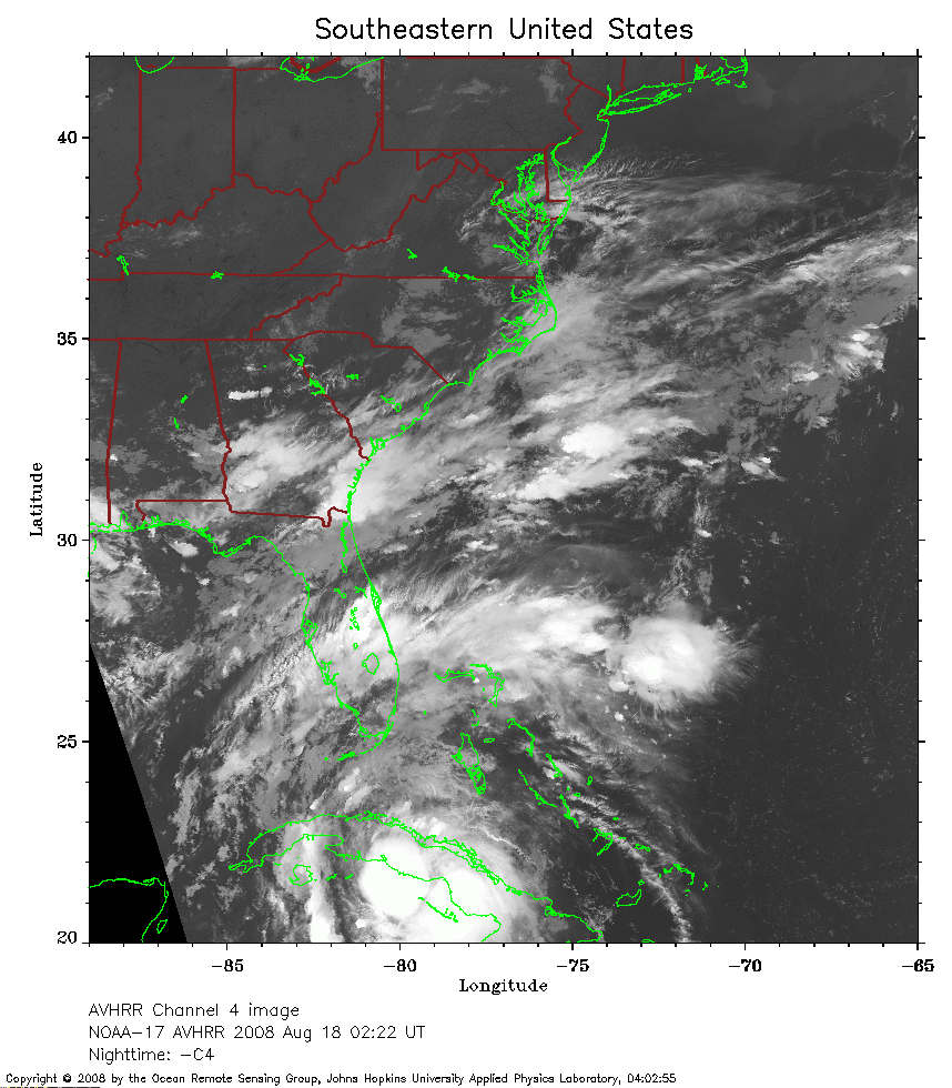
 2008 August 18 02:22 UT
NOAA-17 satellite AVHRR channel 4 nighttime image.
A closer view (297 Kb) is seen by clicking on this small image.
The maximum sustained winds are 50 mph.
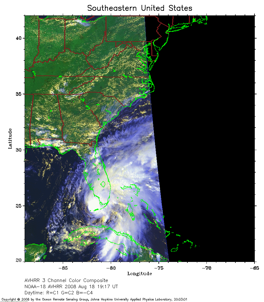 2008 August 18 02:22 UT
NOAA-18 satellite AVHRR 3 channel color composite daytime image.
A closer view (239 Kb) is seen by clicking on this small image.
The maximum sustained winds have increased to 60 mph.
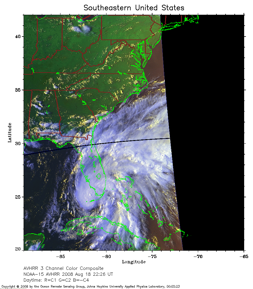 2008 August 18 22:26 UT
NOAA-15 satellite AVHRR 3 channel color composite daytime image.
A closer view (260 Kb) is seen by clicking on this small image.
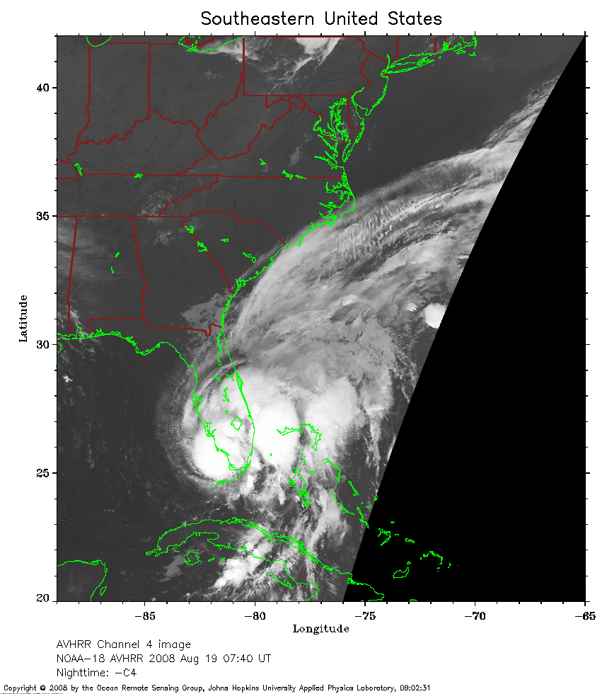 2008 August 19 07:40 UT
NOAA-18 satellite AVHRR channel 4 nighttime image.
A closer view (211 Kb) is seen by clicking on this small image.
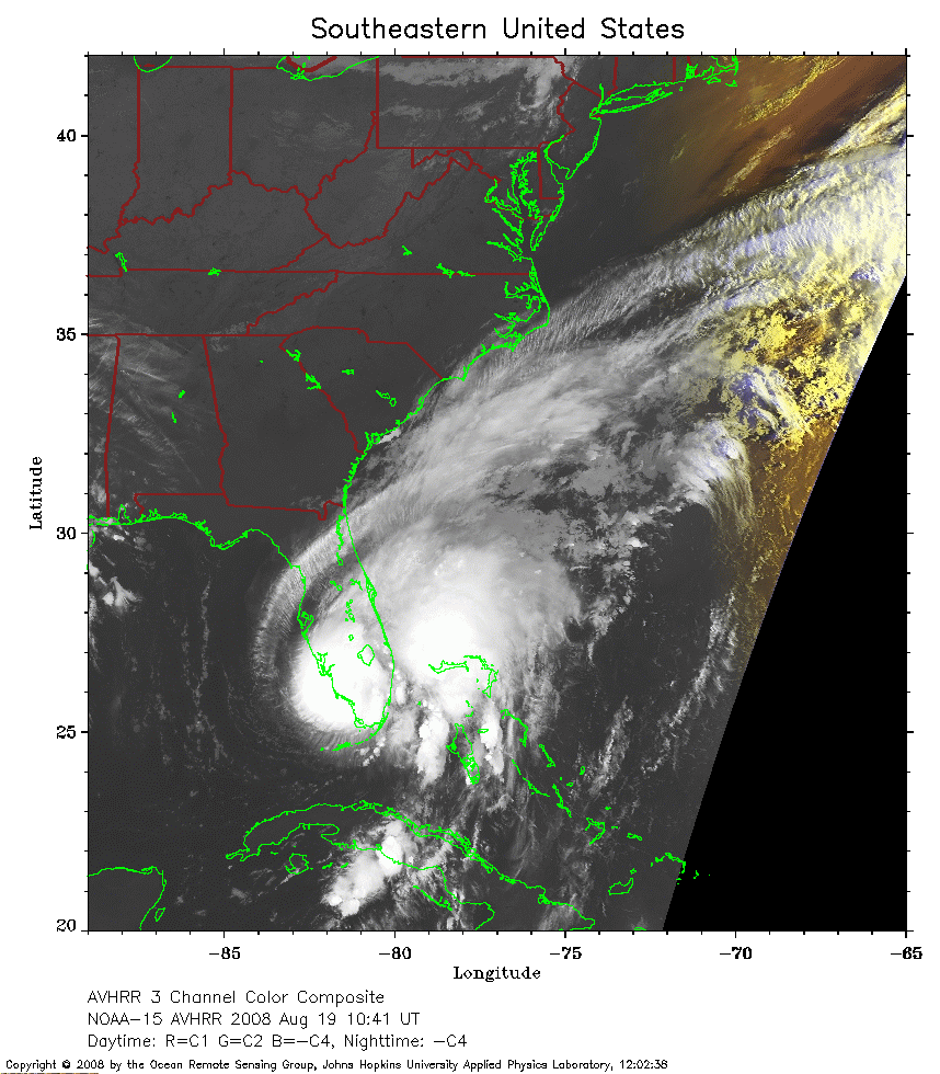 2008 August 19 10:41 UT
NOAA-15 satellite AVHRR 3 channel color composite early morning image.
A closer view (229 Kb) is seen by clicking on this small image.
 2008 August 19 19:06 UT
NOAA-18 satellite AVHRR 3 channel color composite daytime image.
A closer view (261 Kb) is seen by clicking on this small image.
The maximum sustained winds have increased to 65 mph.
 2008 August 20 07:29 UT
NOAA-18 satellite AVHRR channel 4 nighttime image.
A closer view (244 Kb) is seen by clicking on this small image.
The maximum sustained winds have decreased to 50 mph.
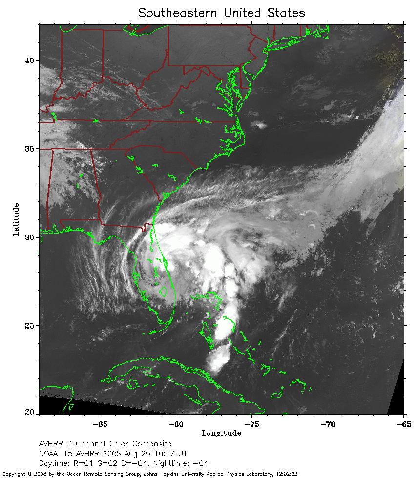 2008 August 20 10:17 UT
NOAA-15 satellite AVHRR channel 4 nighttime image.
A closer view (321 Kb) is seen by clicking on this small image.
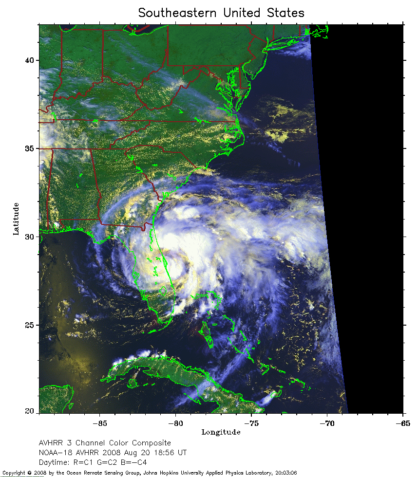 2008 August 20 18:56 UT
NOAA-18 satellite AVHRR 3 channel color composite daytime image.
A closer view (300 Kb) is seen by clicking on this small image.
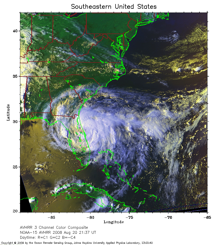 2008 August 20 21:37 UT
NOAA-15 satellite AVHRR 3 channel color composite daytime image.
A closer view (385 Kb) is seen by clicking on this small image.
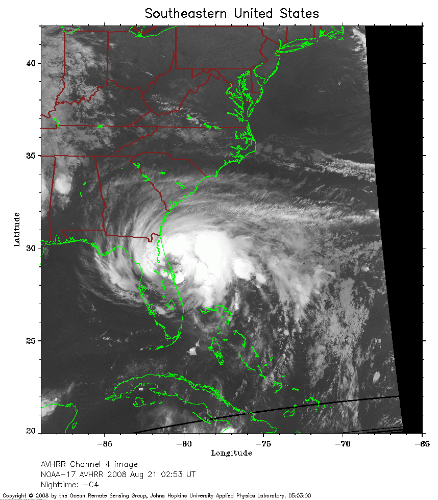 2008 August 21 02:53 UT
NOAA-17 satellite AVHRR channel 4 nighttime image.
A closer view (264 Kb) is seen by clicking on this small image.
The maximum sustained winds have increased to 60 mph.
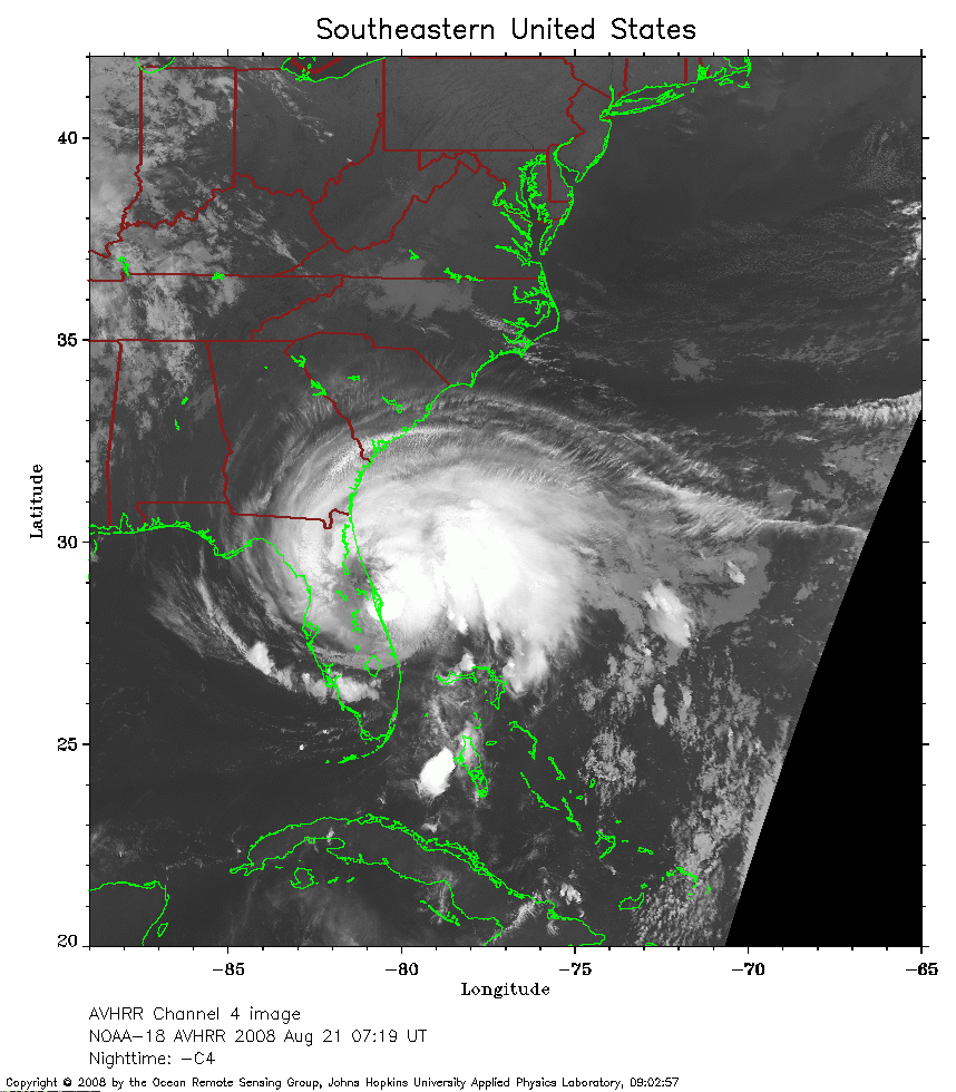 2008 August 21 07:19 UT
NOAA-18 satellite AVHRR channel 4 nighttime image.
A closer view (261 Kb) is seen by clicking on this small image.
 2008 August 21 09:53 UT
NOAA-15 satellite AVHRR channel 4 nighttime image.
A closer view (249 Kb) is seen by clicking on this small image.
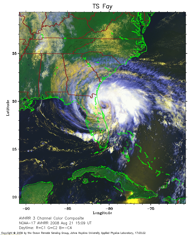 2008 August 21 15:09 UT
NOAA-17 satellite AVHRR 3 channel color composite daytime image.
A closer view (332 Kb) is seen by clicking on this small image.
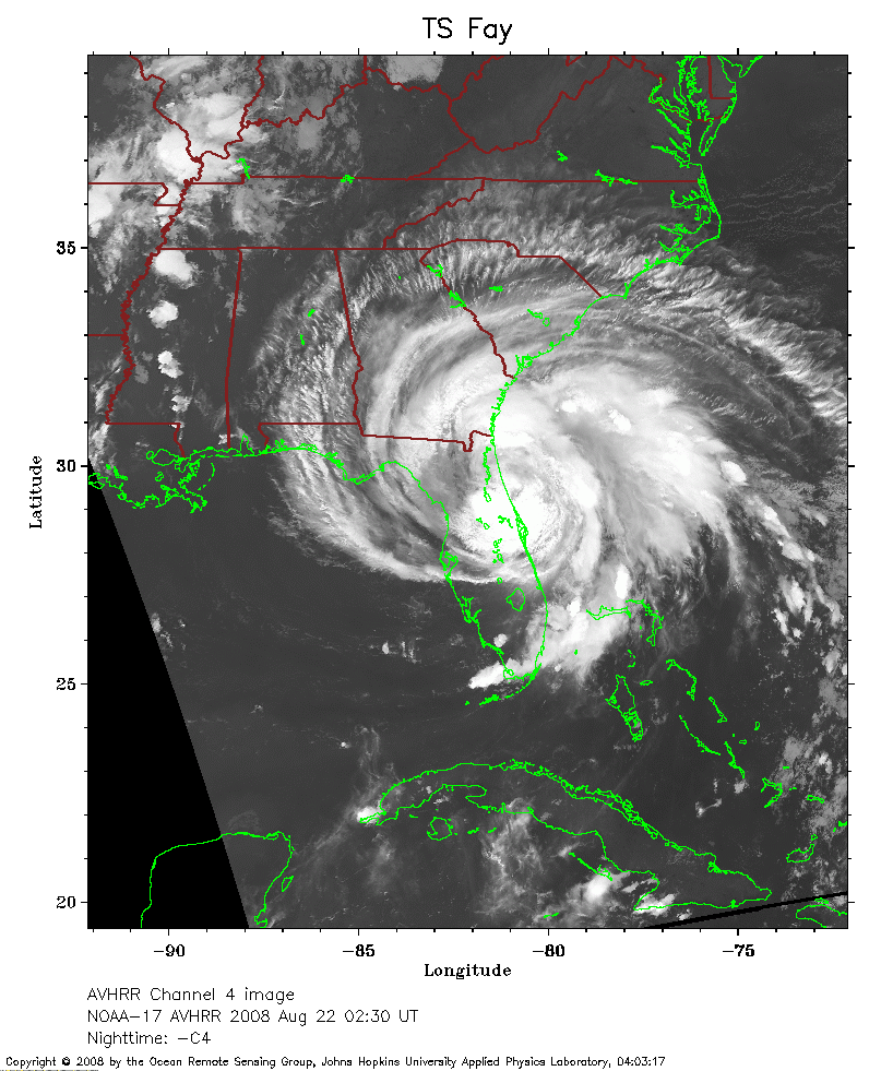 2008 August 22 02:30 UT
NOAA-17 satellite AVHRR channel 4 nighttime image.
A closer view (267 Kb) is seen by clicking on this small image.
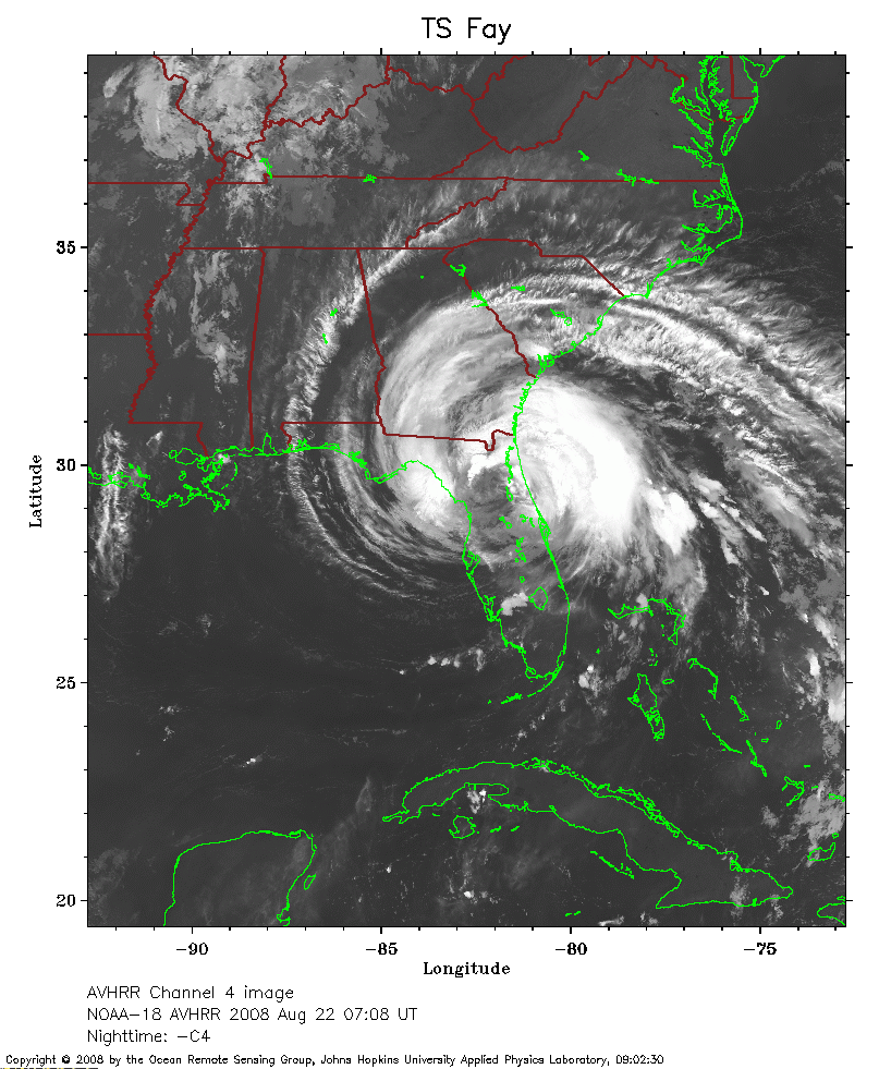 2008 August 22 07:08 UT
NOAA-18 satellite AVHRR channel 4 nighttime image.
A closer view (268 Kb) is seen by clicking on this small image.
The maximum sustained winds have decreased to 50 mph.
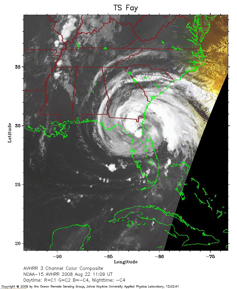 2008 August 22 11:09 UT
NOAA-15 satellite AVHRR 3 channel color composite early morning image.
A closer view (218 Kb) is seen by clicking on this small image.
 2008 August 22 14:46 UT
NOAA-17 satellite AVHRR 3 channel color composite daytime image.
A closer view (230 Kb) is seen by clicking on this small image.
The maximum sustained winds have decreased to 45 mph.
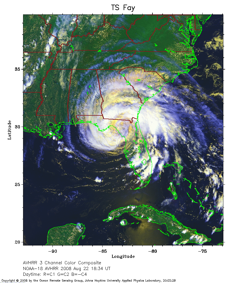 2008 August 22 18:34 UT
NOAA-18 satellite AVHRR 3 channel color composite daytime image.
A closer view (339 Kb) is seen by clicking on this small image.
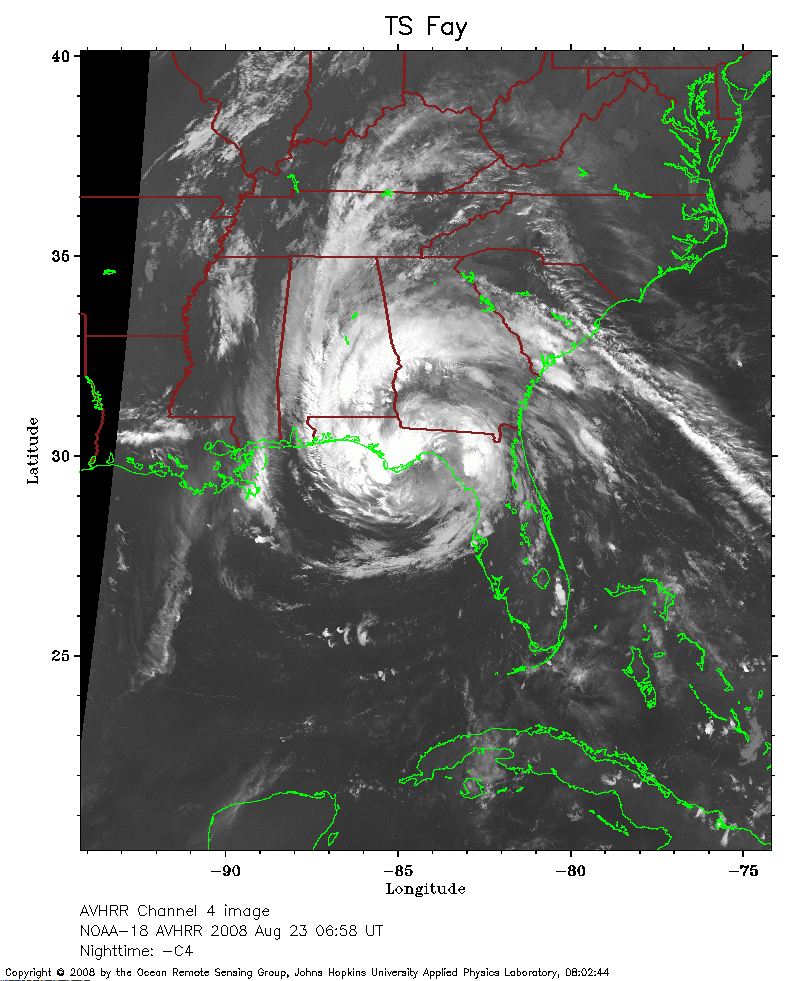 2008 August 23 06:58 UT
NOAA-18 satellite AVHRR channel 4 nighttime image.
A closer view (259 Kb) is seen by clicking on this small image.
The maximum sustained winds have increased to 50 mph.
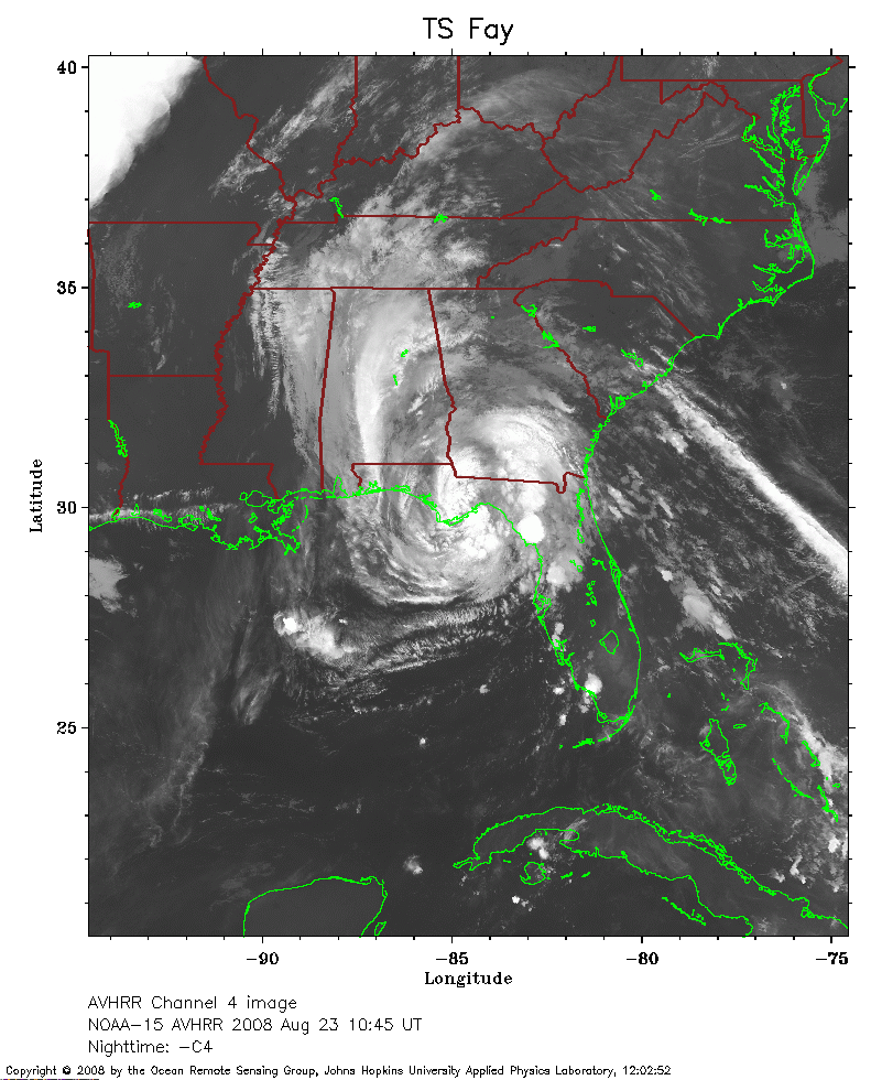 2008 August 23 10:45 UT
NOAA-15 satellite AVHRR channel 4 nighttime image.
A closer view (263 Kb) is seen by clicking on this small image.
The maximum sustained winds have decreased to 45 mph.
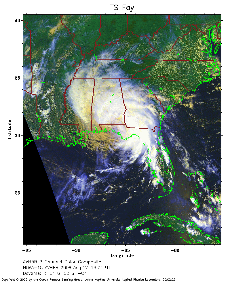 2008 August 23 18:24 UT
NOAA-18 satellite AVHRR 3 channel color composite daytime image.
A closer view (326 Kb) is seen by clicking on this small image.
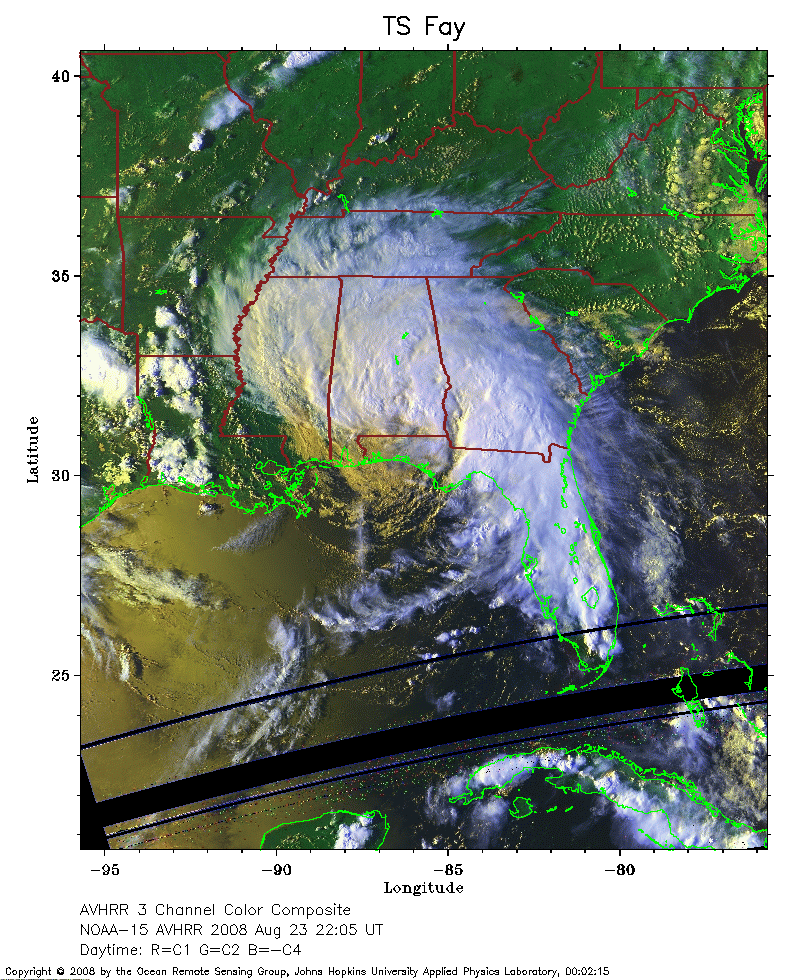 2008 August 23 22:05 UT
NOAA-15 satellite AVHRR 3 channel color composite daytime image.
A closer view (352 Kb) is seen by clicking on this small image.
 2008 August 24 03:24 UT
NOAA-17 satellite AVHRR channel 4 nighttime image.
A closer view (277 Kb) is seen by clicking on this small image.
The maximum sustained winds have decreased to 35 mph.
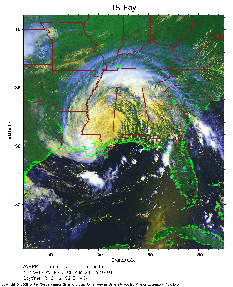 2008 August 24 15:40 UT
NOAA-17 satellite AVHRR 3 channel color composite daytime image.
A closer view (342 Kb) is seen by clicking on this small image.
The maximum sustained winds have decreased to 30 mph.
 2008 August 25 03:01 UT
NOAA-17 satellite AVHRR channel 4 nighttime image.
A closer view (276 Kb) is seen by clicking on this small image.
The maximum sustained winds have decreased to 25 mph.