
Track maps
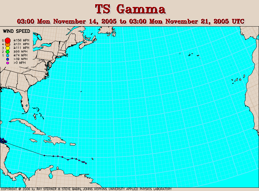
Gamma developed from Tropical Depression Twenty-Seven in the
southwestern Caribbean Sea off the coast of Honduras. This tropical
depression had formed earlier in the eastern Caribbean and then dissipated
before it reformed, thereby accounting for the apparent jump observed in
the maps.
Track file
Track data (lat/lon, winds, etc.) in a text file.