 2005 October 23 03:07 UT
NOAA-17 satellite AVHRR channel 4 nighttime image.
A closer view (216 Kb) is seen by clicking on this small image.
The maximum sustained winds are 50 mph.
 2005 October 23 15:24 UT
NOAA-17 satellite AVHRR 3 channel color composite daytime image.
A closer view (327 Kb) is seen by clicking on this small image.
The maximum sustained winds have decreased to 35 mph.
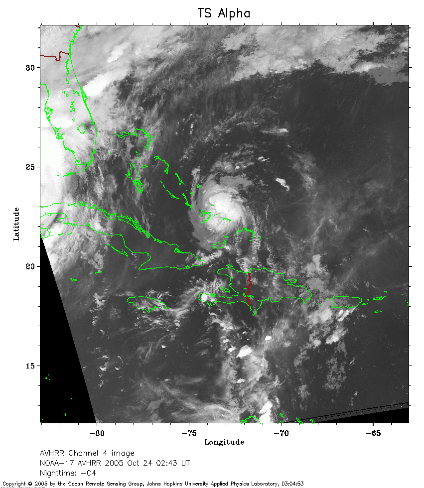 2005 October 24 02:43 UT
NOAA-17 satellite AVHRR channel 4 nighttime image.
A closer view (288 Kb) is seen by clicking on this small image.
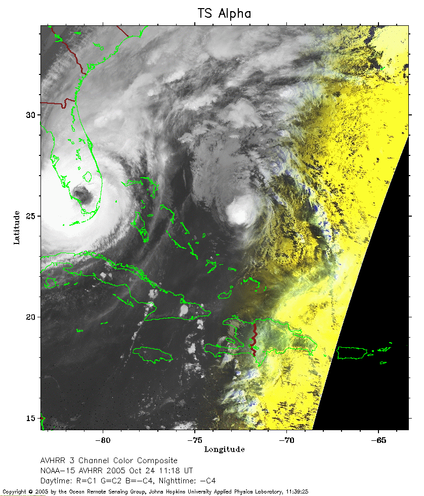 2005 October 24 11:18 UT
NOAA-15 satellite AVHRR 3 channel color composite early morning image.
A closer view (274 Kb) is seen by clicking on this small image.
Note the much larger Hurricane Wilma with its eye over southern Florida and
the smaller TS Alpha north of the eastern Bahamas.
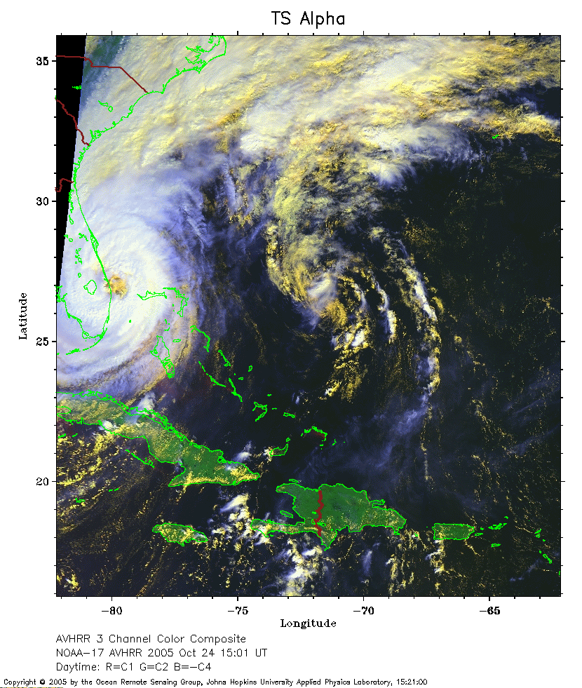 2005 October 24 15:01 UT
NOAA-17 satellite AVHRR 3 channel color composite daytime image.
A closer view (342 Kb) is seen by clicking on this small image.
Hurricane Wilma is the larger storm to the west of TS Alpha.
The circulation of Alpha is beginning to be absorbed into Wilma.