 2002 September 6 10:17 UT
NOAA-12 satellite AVHRR channel 4 morning image.
A closer view (155 Kb) is seen by clicking on this small image.
The maximum sustained winds are 40 mph.
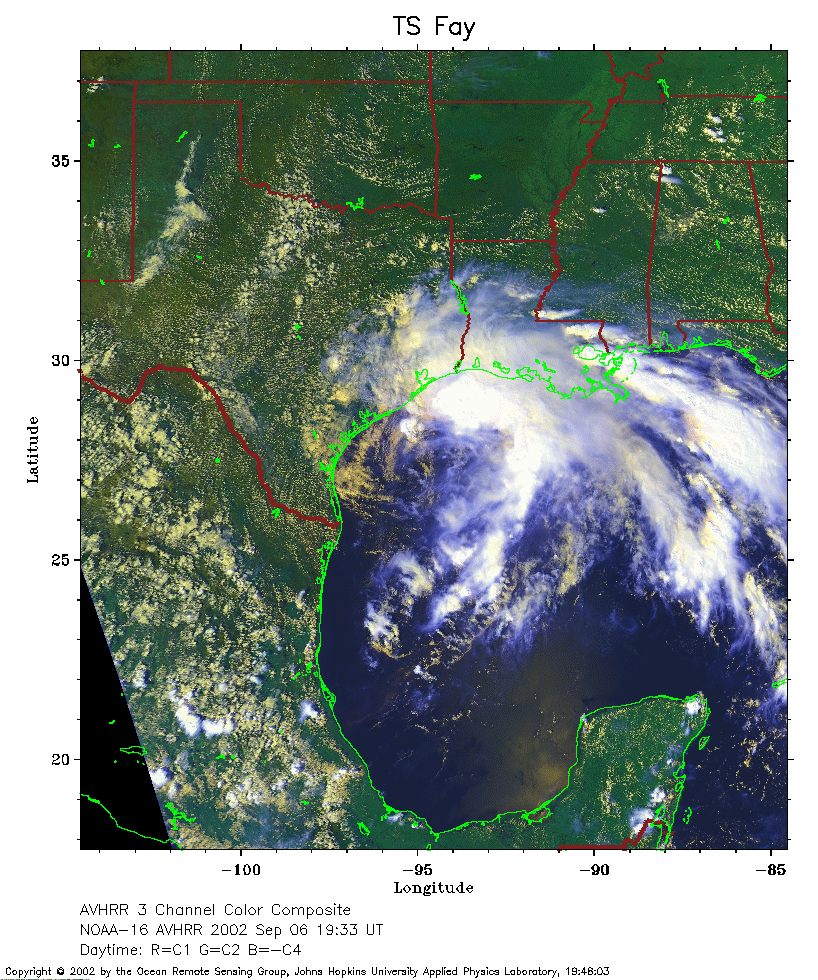 2002 September 6 19:33 UT
NOAA-16 satellite AVHRR 3 channel color composite afternoon image. A closer view (386 Kb) is seen by clicking on this small image. The maximum sustained winds have increased to 60 mph.
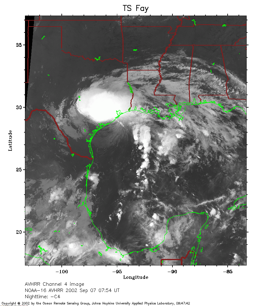 2002 September 7 07:54 UT
NOAA-16 satellite AVHRR channel 4 early morning image.
A closer view (281 Kb) is seen by clicking on this small image.
The maximum sustained winds are 60 mph.
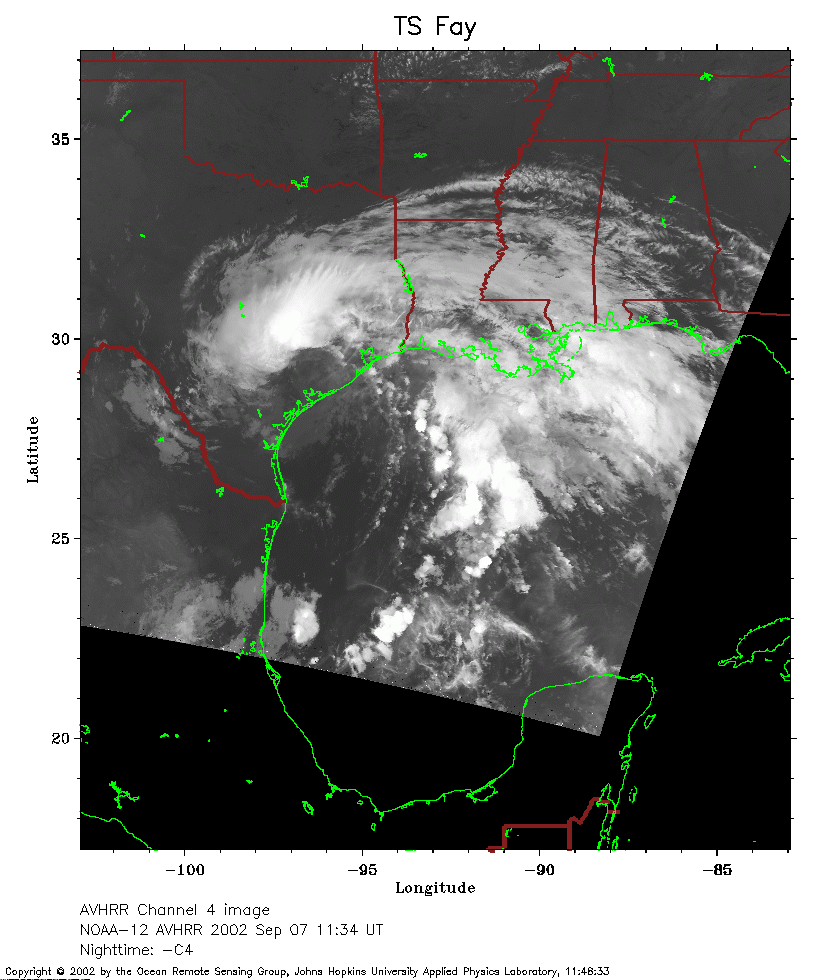 2002 September 7 11:34 UT
NOAA-12 satellite AVHRR channel 4 morning image.
A closer view (200 Kb) is seen by clicking on this small image.
Fay is moving inland and the maximum sustained winds have decreased to
50 mph.