 2000 October 20 20:22 UT
NOAA-14 satellite AVHRR 3 channel color composite afternoon image.
A closer view (376 Kb) is seen by clicking on this small image.
The maximum sustained winds are 45 mph at 21:00 UT.
Note the island of Bermuda (J-shaped) on the left side of this image.
A very large image
(774 Kb) is also available.
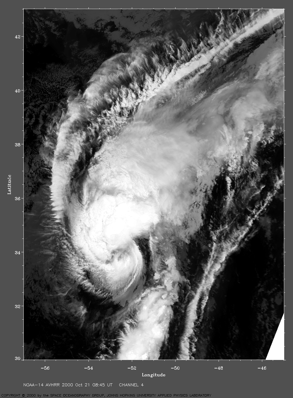
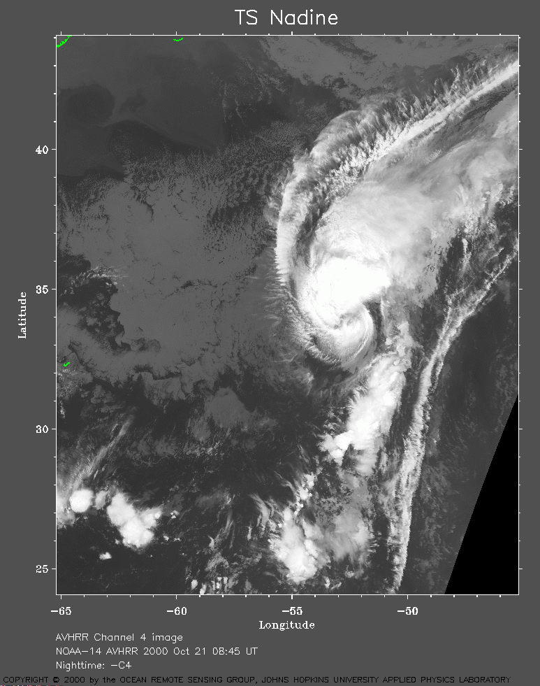 2000 October 21 08:45 UT
NOAA-14 satellite AVHRR channel 4 morning image.
A closer view (289 Kb) is seen by clicking on this small image.
The maximum sustained winds have increased to 60 mph.
A very large image
(950 Kb) is also available.
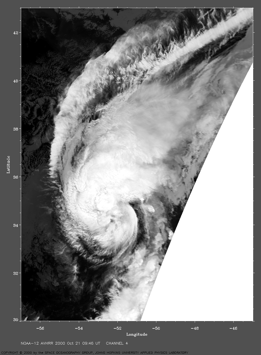
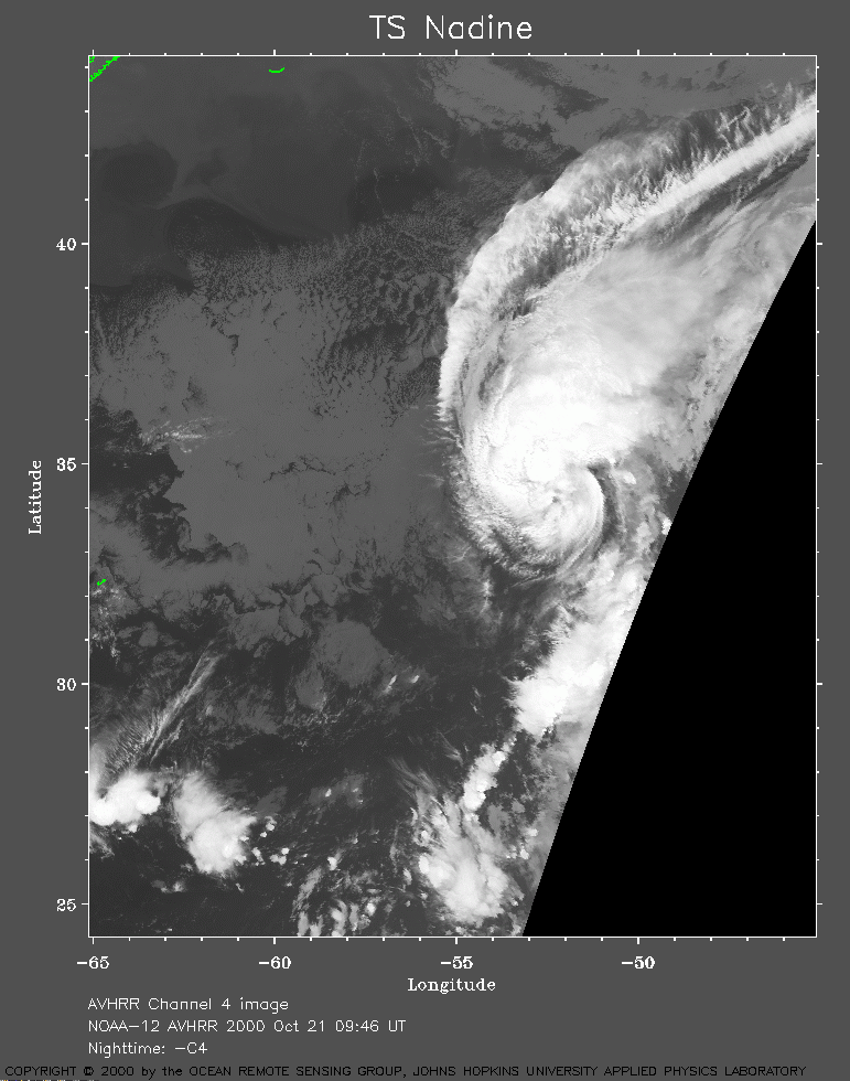 2000 October 21 09:46 UT
NOAA-12 satellite AVHRR channel 4 morning image.
A closer view (239 Kb) is seen by clicking on this small image.
A very large image
(698 Kb) is also available.
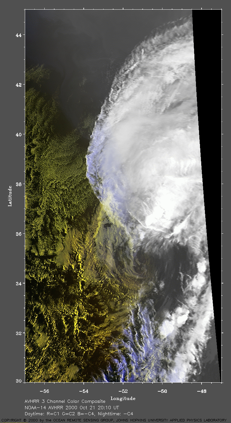
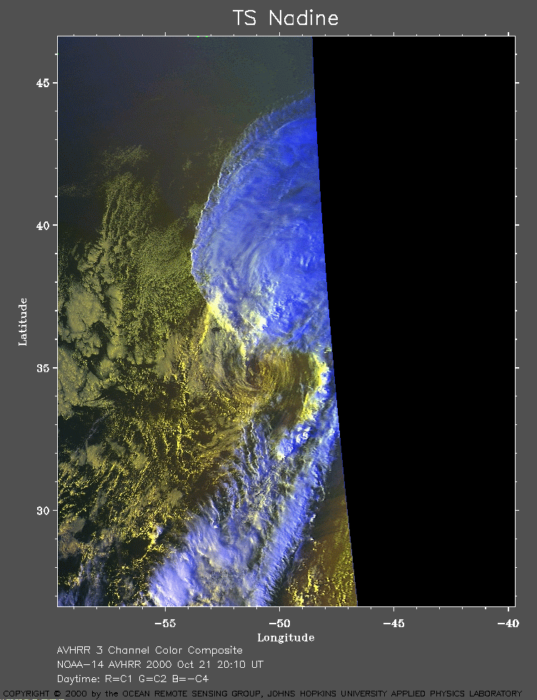 2000 October 21 20:10 UT
NOAA-14 satellite AVHRR 3 channel color composite afternoon image.
A closer view (255 Kb) is seen by clicking on this small image.
The maximum sustained winds are decreasing to 50 mph at 21:00 UT.
A very large image
(431 Kb) is also available.