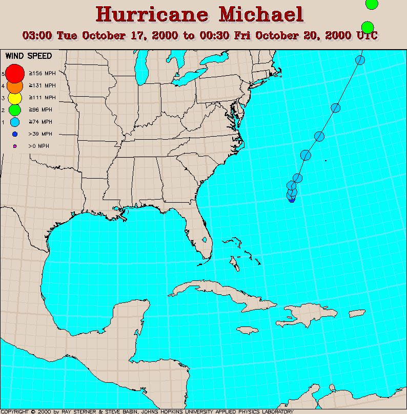
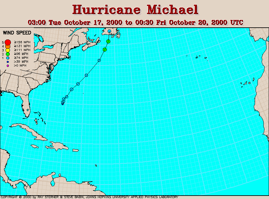
Track maps
Michael developed from Tropical Depression Seventeen midway between
the Bahamas and Bermuda.
 7 day average SST image from 10 October
(263 Kb) This image is derived from the average composite sea
surface
temperature (SST) data over 7 days ending 10 October 2000. The
averaging
is done to remove clouds. The temperature scale for the SST in this
image is 20 to 32 C.
The track of Michael is overlaid on this image.
7 day average SST image from 10 October
(263 Kb) This image is derived from the average composite sea
surface
temperature (SST) data over 7 days ending 10 October 2000. The
averaging
is done to remove clouds. The temperature scale for the SST in this
image is 20 to 32 C.
The track of Michael is overlaid on this image.
Track file
Track data (lat/lon, winds, etc.) in a text file.