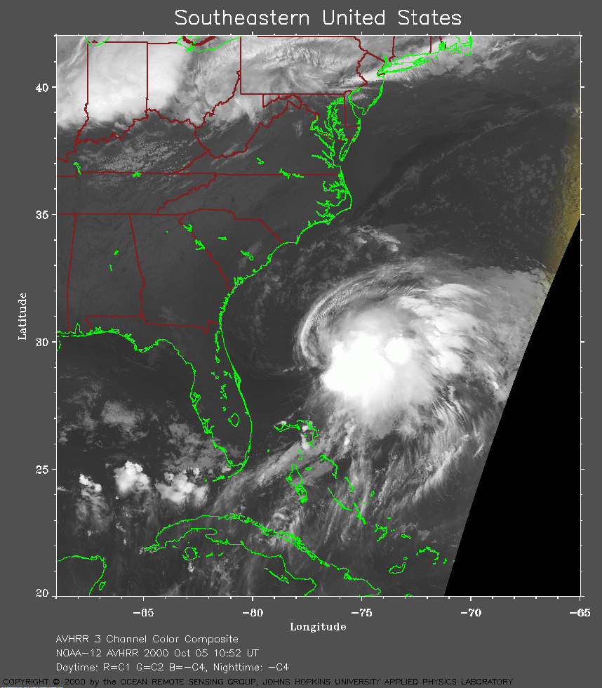
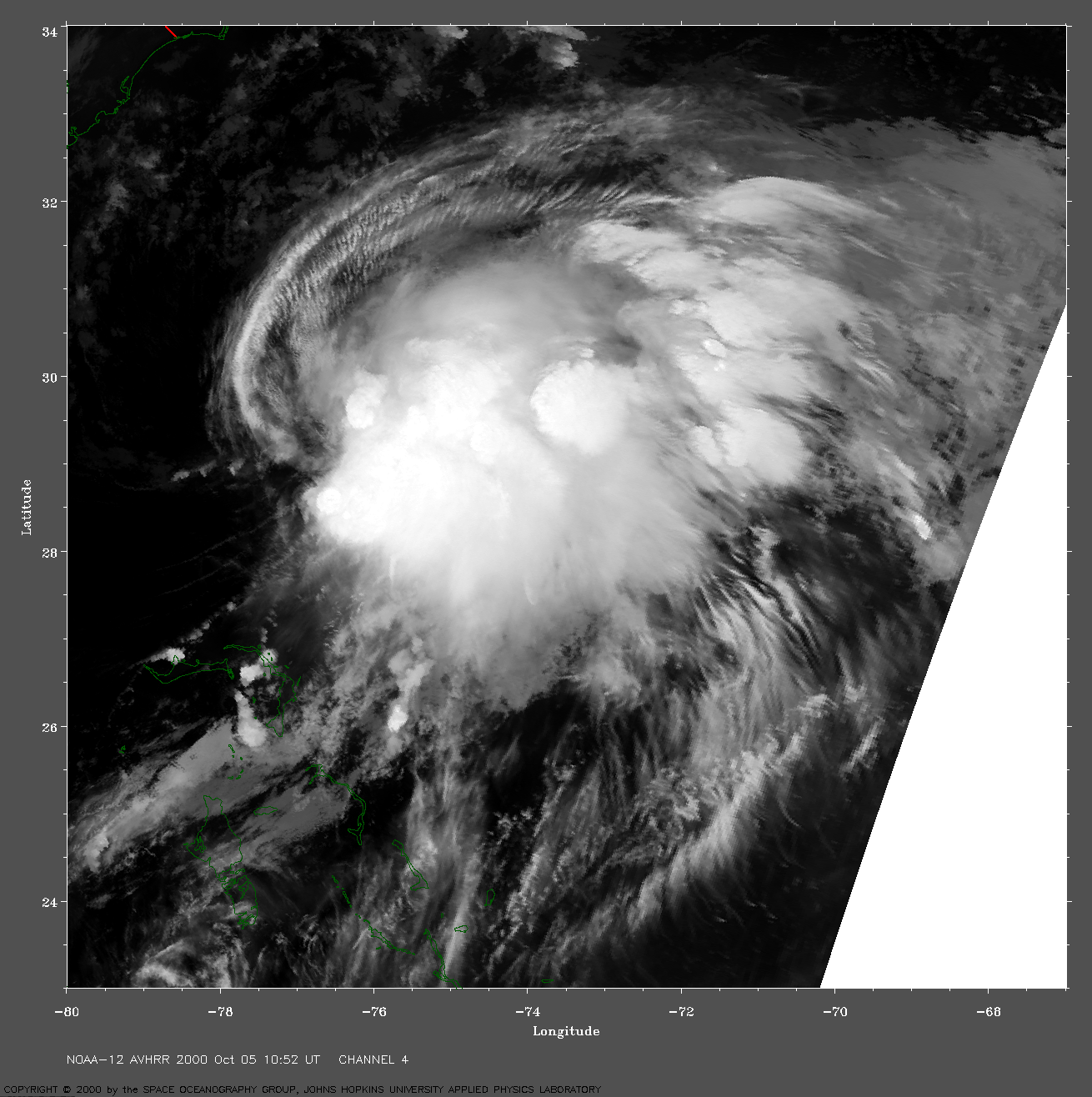
 2000 October 5 10:52 UT
NOAA-12 satellite AVHRR channel 4 early morning image.
A closer view (269 Kb) is seen by clicking on this small image.
The maximum sustained winds are 35 mph.
A very large image
(943 Kb) is also available.
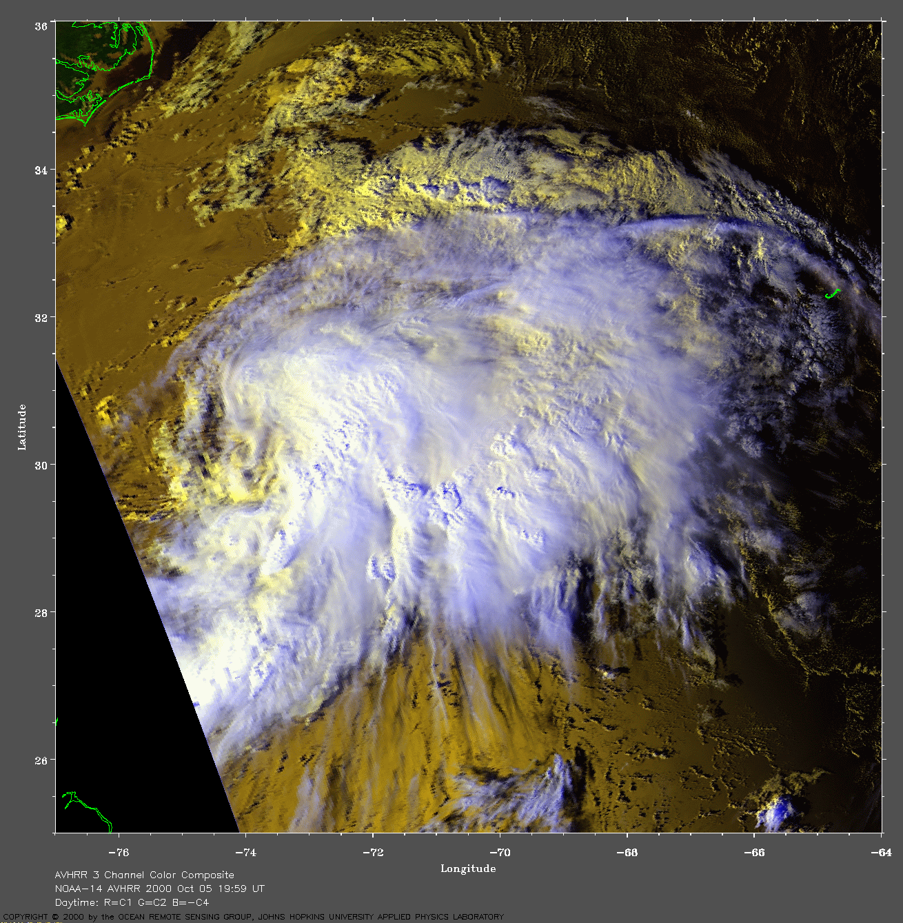
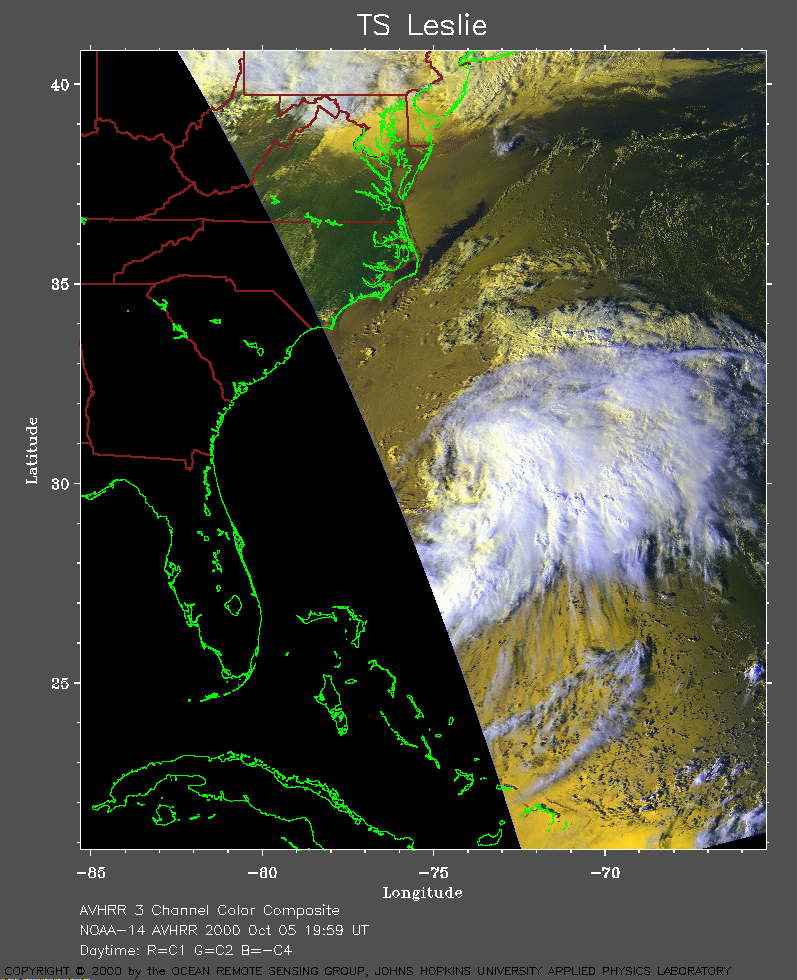 2000 October 5 19:59 UT
NOAA-14 satellite AVHRR 3 channel color composite afternoon image.
A closer view (273 Kb) is seen by clicking on this small image.
The maximum sustained winds have increased to 40 mph.
A very large image
(878 Kb) is also available.
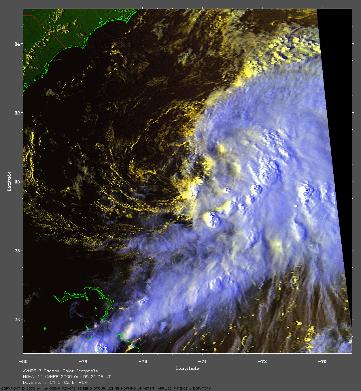
 2000 October 5 21:38 UT
NOAA-14 satellite AVHRR 3 channel color composite afternoon image.
A closer view (317 Kb) is seen by clicking on this small image.
Notice how the lower level circulation (yellow = warmer clouds) is
exposed by the displacement to the west of the upper level
circulation (white = cooler clouds).
A very large image
(697 Kb) is also available.
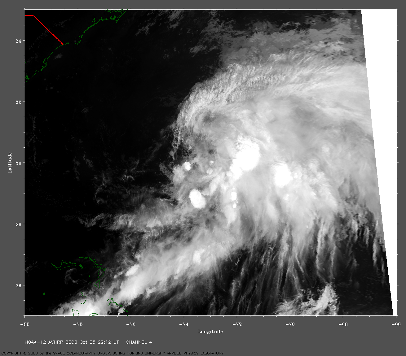
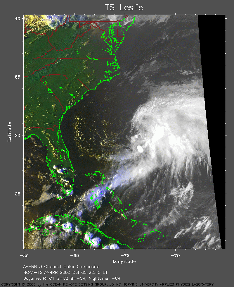 2000 October 5 22:12 UT
NOAA-12 satellite AVHRR 3 channel color composite evening image.
A closer view (309 Kb) is seen by clicking on this small image.
A very large image
(714 Kb) using channel 4 is also available.
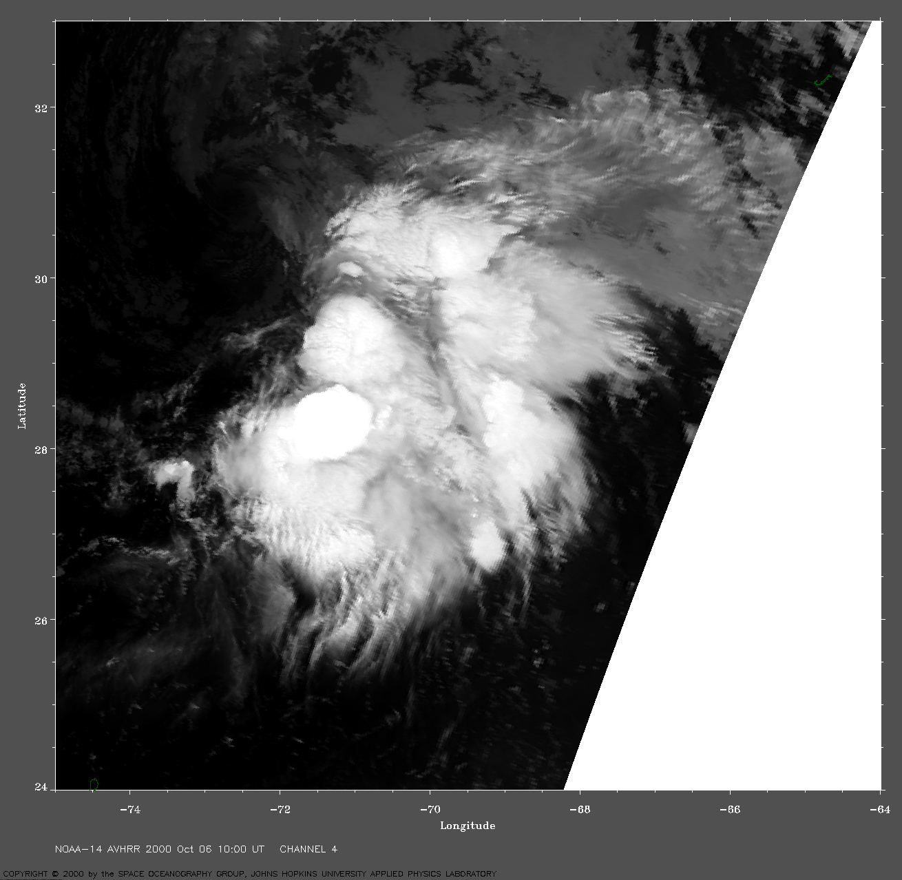
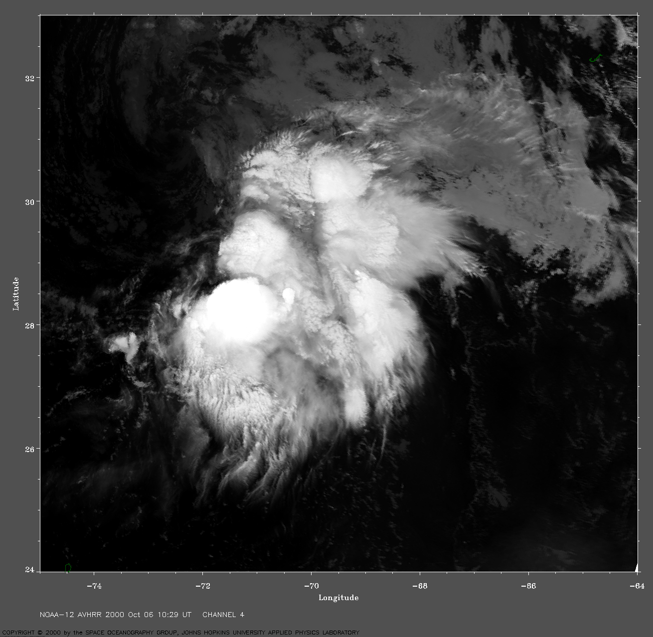
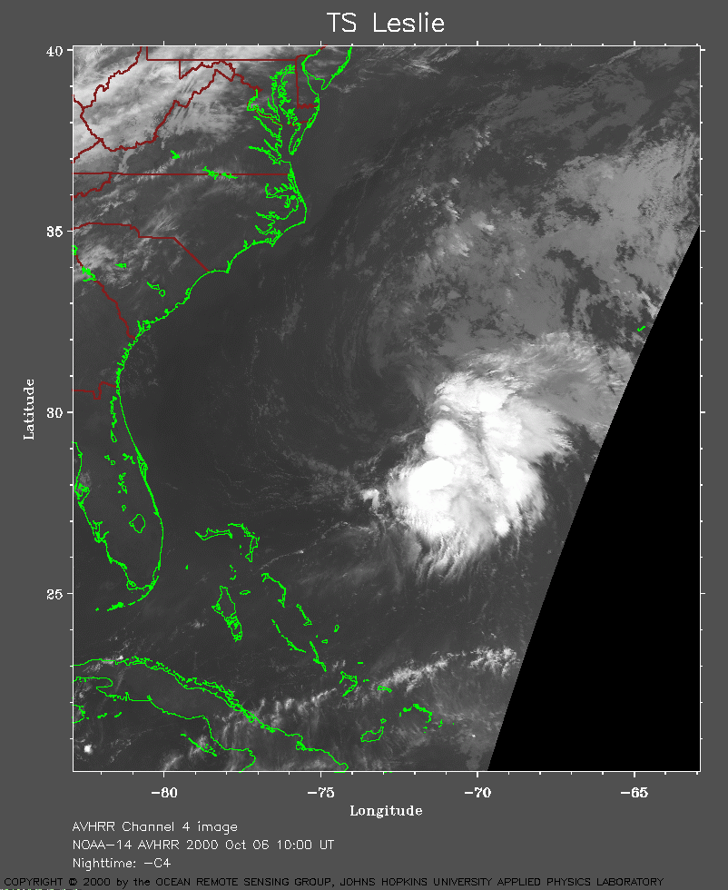 2000 October 6 10:00 UT
NOAA-14 satellite AVHRR channel 4 morning image.
A closer view (231 Kb) is seen by clicking on this small image.
A very large image
(622 Kb) is also available.
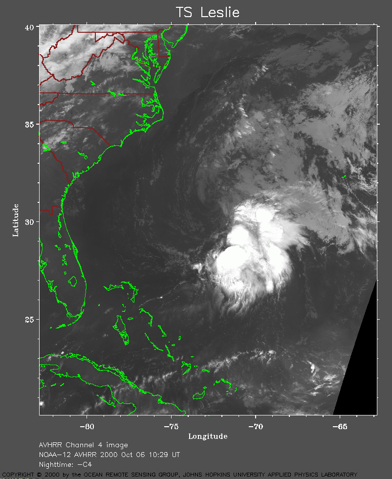 2000 October 6 10:29 UT
NOAA-12 satellite AVHRR channel 4 morning image.
A closer view (264 Kb) is seen by clicking on this small image.
A very large image
(851 Kb) is also available.
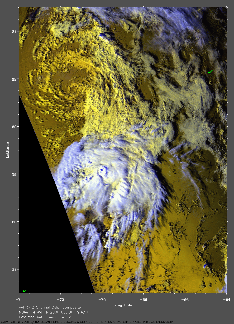
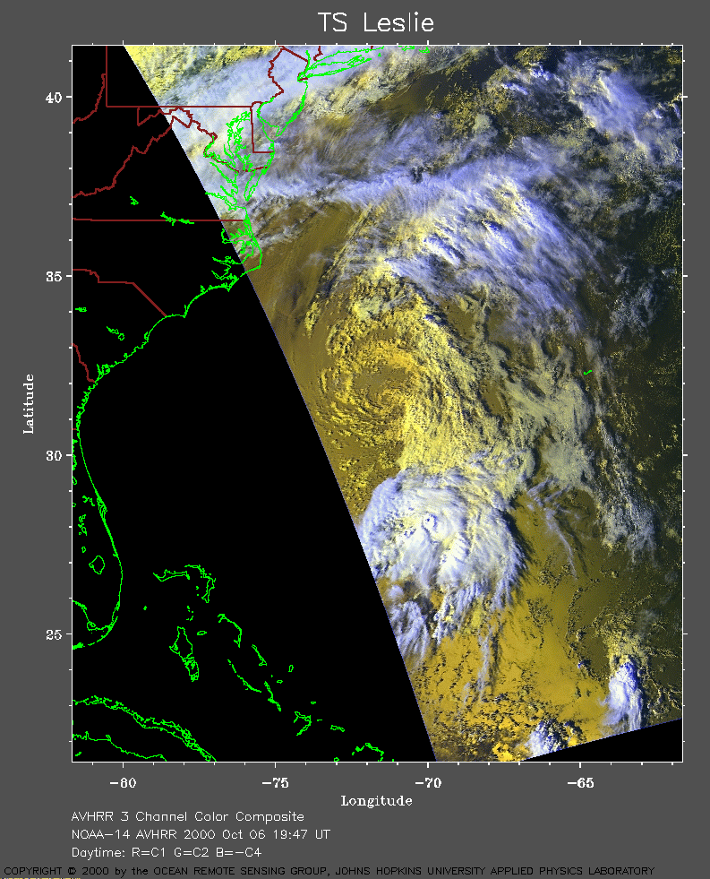 2000 October 6 19:47 UT
NOAA-14 satellite AVHRR 3 channel color composite evening image.
A closer view (330 Kb) is seen by clicking on this small image.
Notice how the lower level circulation (yellow = warmer clouds) is greatly
displaced to the north of the upper level circulation (white = cooler
clouds).
A very large image
(703 Kb) is also available.
Bermuda is the J-shaped island seen near 32 N, 65 W.
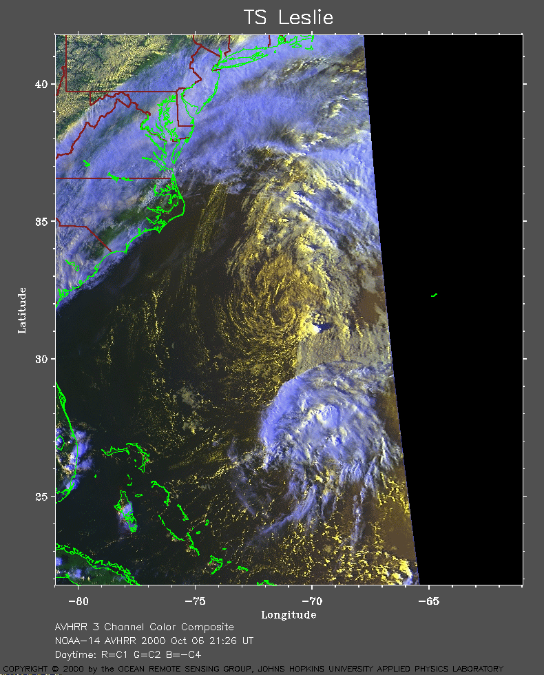 2000 October 6 21:26 UT
NOAA-14 satellite AVHRR 3 channel color composite evening image.
A closer view (308 Kb) is seen by clicking on this small image.
The maximum sustained winds have now decreased to 35 mph.
A very large image
(580 Kb) is also available.
Notice the shadow cast by the towering cumulus near 31 N, 70 W.
The Outer Banks of North Carolina are seen in the upper left of this
image.
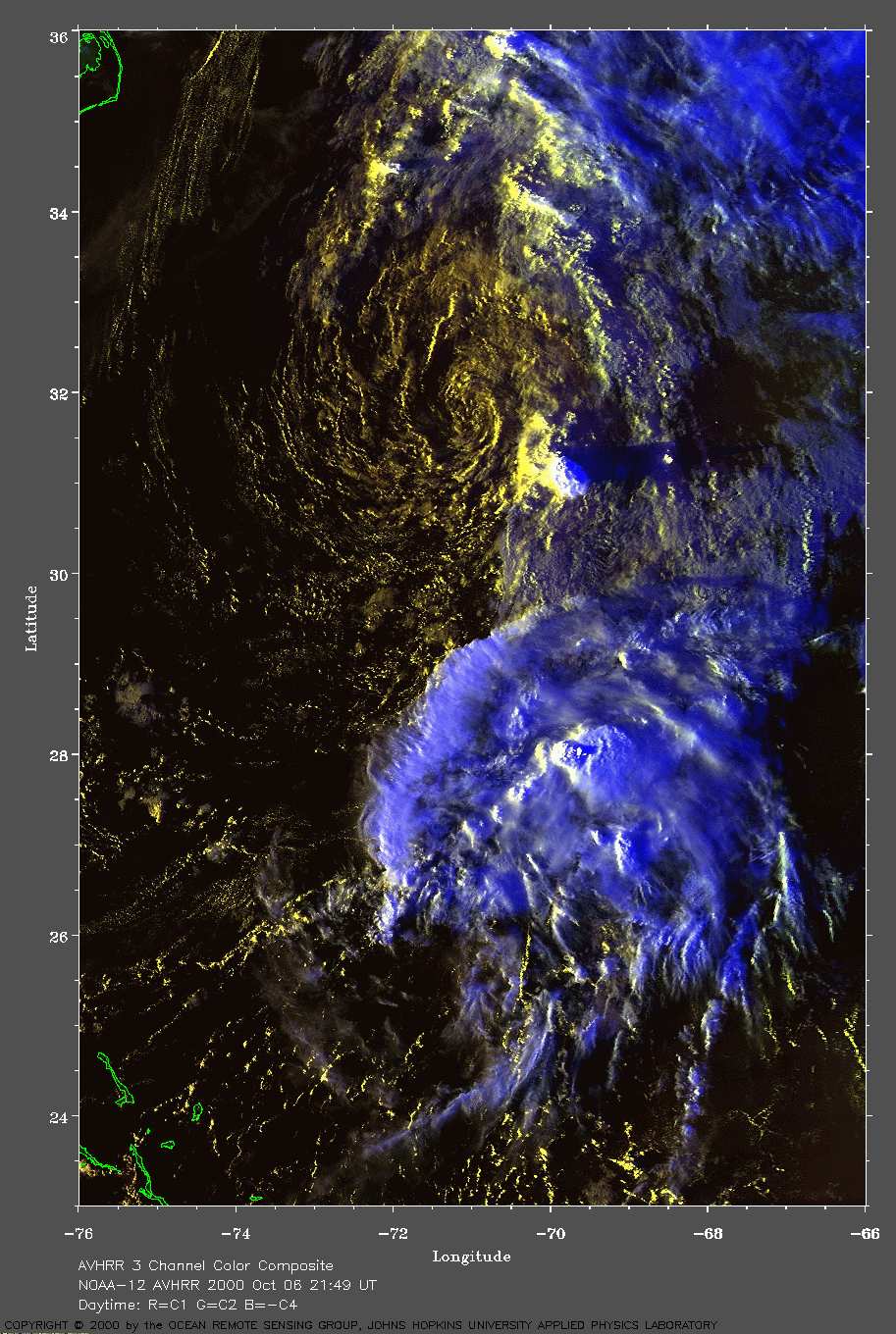
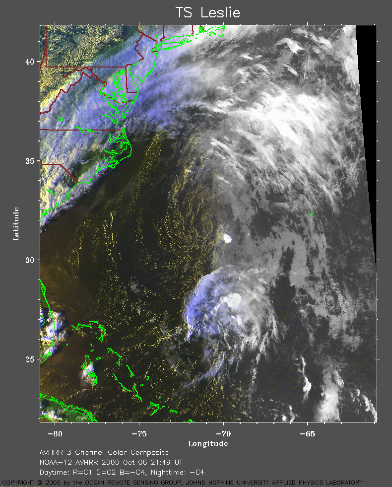 2000 October 6 21:49 UT
NOAA-12 satellite AVHRR 3 channel color composite evening image.
A closer view (375 Kb) is seen by clicking on this small image.
A very large image
(550 Kb) is also available.
Notice how the shadow cast by the towering cumulus near 31 N, 70 W, is
now longer than it was 23 minutes earlier by comparing with the NOAA-14
image at 21:26 UT above.
The Outer Banks of North Carolina are seen in the upper left of this
image.
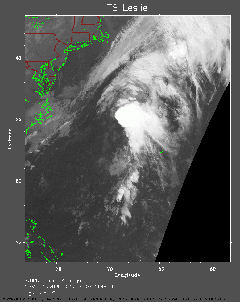 2000 October 7 09:48 UT
NOAA-14 satellite AVHRR channel 4 early morning image.
A closer view (239 Kb) is seen by clicking on this small image.
A very large image
(658 Kb) is also available.